Tyne & Wear Metro
Written by James M. Young
Updated 13th November 2023

Background
Location Newcastle and Sunderland, United Kingdom
First line opened 1980
Last major update 2008
Open lines 2
Open stations 60
The Tyne & Wear Metro was created to link the areas of Newcastle upon Tyne, Gateshead, North Tyneside, South Tyneside and the City of Sunderland. The first part of the network, the yellow line, opened in 1980 with the green line following in 1981. By 2002 the green line reached to Sunderland, the last extension to date.
Yellow line
Line colour Yellow
Opened 1980
Stations 41
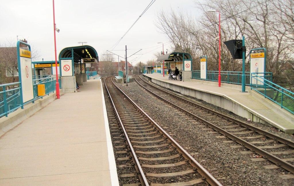
The yellow line connects South Shields with Newcastle, then loops around to reach North Shields and then back into the centre of Newcastle. Although part of the line has a circular shape, the line runs as if it was one long line.
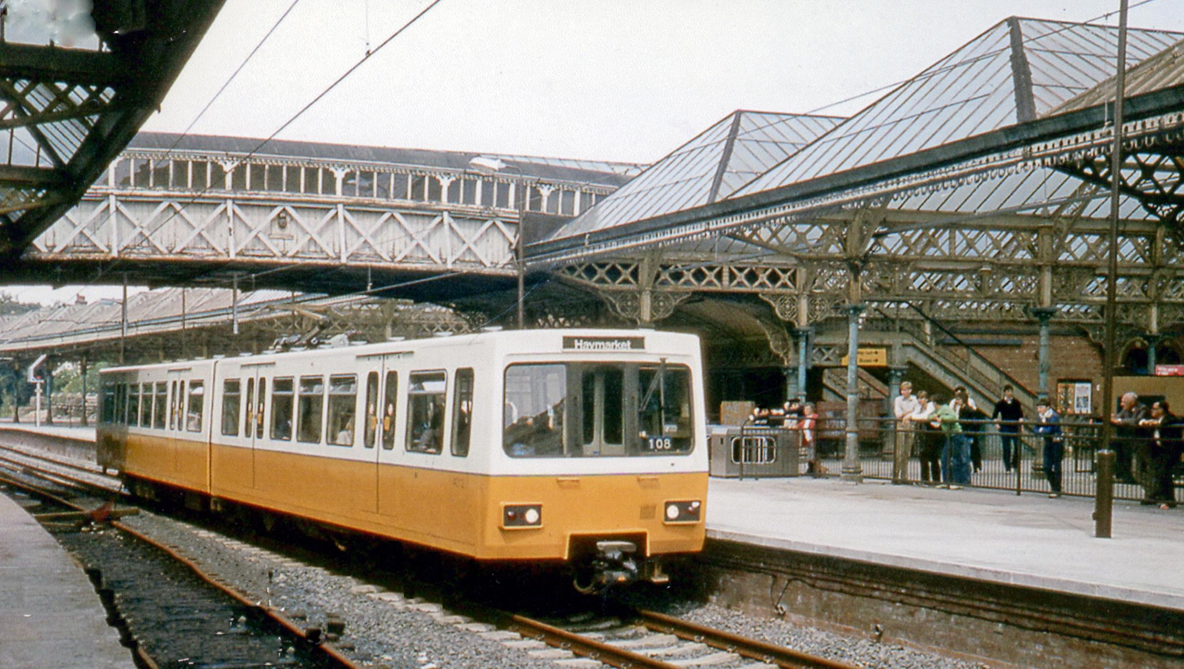
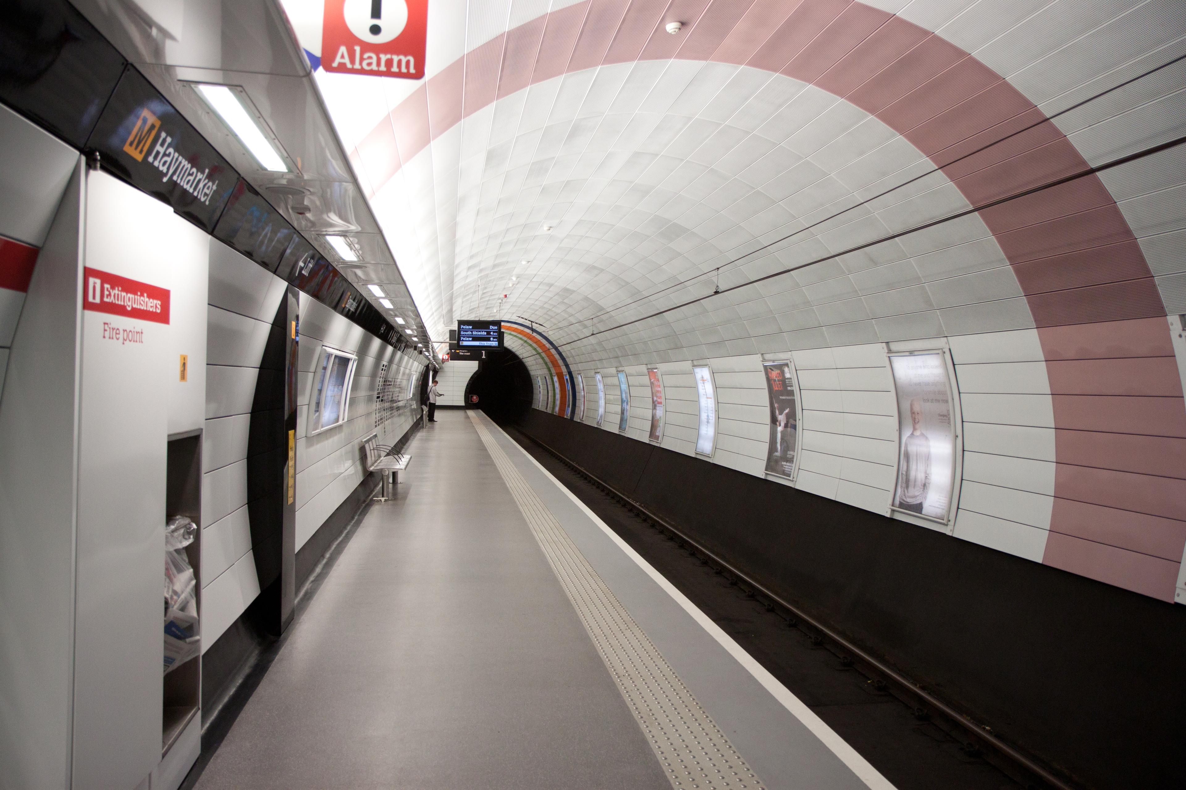
The first part of the yellow line opened on 11th August 1980 between Haymarket and Tynemouth. This was extended from Haymarket to Heworth on 15th November 1981 and Tynemouth to St. James, connecting to Monument again at a lower level. The final extension was from Heworth to South Shields on 24th March 1984.
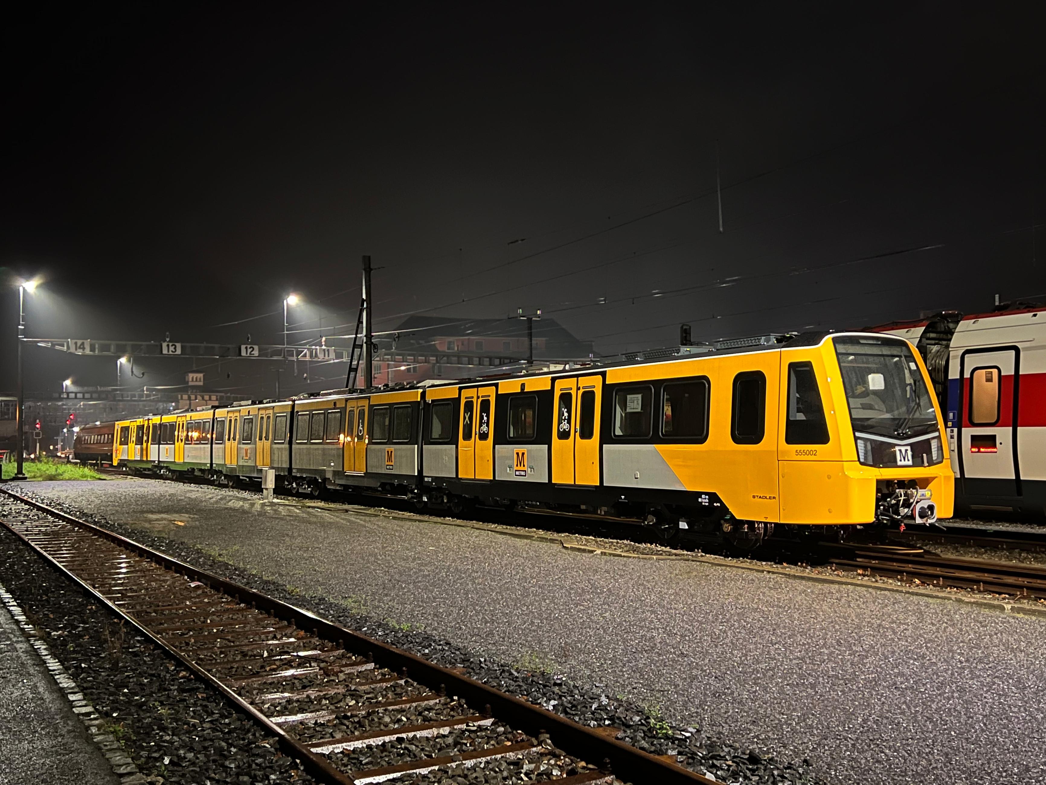
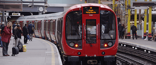
The line's rolling stock are known as Metrocars (which are numbered 4001–4090). These were introduced when the line opened and are still in use today, however they have been refurbished twice in their lifetime. The current fleet is due to be replaced with new Class 555 trains, currently being built in Switzerland and due to enter operation in 2023.
Gallery
Green line
Line colour Green
Opened 1981
Stations 31
The green line connects Sunderland with Newcastle and Newcastle Airport. It shares the central section through Newcastle with the yellow line.
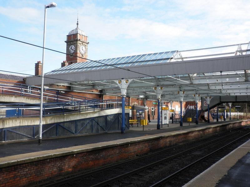
The green line opened between Heworth to Bank Foot on 10th May 1981. This was extended to Pelaw on 16th September 1985. Then on 17th November 1991 it was extended from Bank Foot to Airport. The final extension happened on 31st March 2002, with Pelaw being linked to South Hylton, which serves the area of Sunderland.
The green line uses the same fleet of rolling stock as the yellow line.
Gallery
Future
A number of proposals have been discussed to extend the network, with nothing concrete set at the moment. The most favourable idea at the current time is adding a new route from Pelaw to South Hylton along the former Leamside line to connect with Washington. This proposal is still at an early stage.
Much more to explore
Disclaimer
Please note the map is for display purposes only. This should only be used as a guide on how the network has changed over time and not as a travel tool. Please see each networks's official website for an up-to-date map for travelling around that city.
Map design is loosely based on the original concept by Harry Beck for London Underground.
Some things to note about maps:
- Only shows passenger lines.
- Does not show different services on lines.
- Shows the companies who ran services over lines, not who owned them.
- Only shows how lines intersect and in no way represents where stations are in real life, either geographically or by distance.
- Only shows stations as intersections if you can walk between lines without leaving the station(s).
- Only shows changes between years. If a station closed and opened in the same year this will not be shown etc.
- Does not show interchanges between other travel networks.
Images are copyright to their respective owners.
If you spot anything that is wrong, have suggestions or comments or suitable photos for a network, then please get in touch on our contact page.

