Copenhagen Metro

Written by James M. Young

Updated 14th January 2025
Background

Location Copenhagen, Denmark
First line opened 2002
Last major update 2024

Open lines 4

Open stations 45
Copenhagen in Denmark has the only metro in the country. The first 2 lines, M1 and M2, opened their first parts on 19th October 2002. The 3rd line was opened 17 years later and the 4th line a year after that. The 4th line was then further extended south on 22nd June 2024. All trains on the system are driverless. The network carried 107 million passengers in 2022.
Line M1
Line colour Green
Opened 2002
Stations 16
Plans for a metro in Copenhagen started at the end of the 20th century. Initial plans for lines M1 and M2 passed in parliament on 24th June 1992 linking Vanløse with Vestamager and Lergravsparken. Construction started in November 1996. The line is partly below ground and partly above ground.
Line M1 opened on 19th October 2002 between Nørreport and Vestamager. The next part to open was between Nørreport and Frederiksberg on 29th May 2003. Finally, later that year on 12th October 2003, the section from Frederiksberg to Vanløse opened.
Gallery
 Bella Center station in 2007. Photo by Jepsen3/3
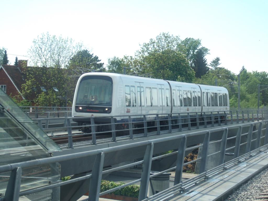 Train near Flintholm station in 2006. Photo by Gadgetbox1/3
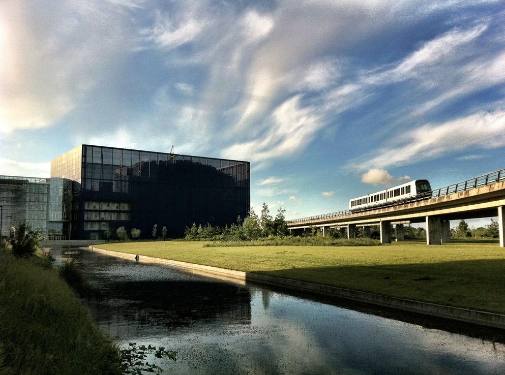 Train near DR Byen station in 2011. Photo by Frank B. Daugaard2/3
- Bella Center station in 2007. Photo by Jepsen3/3
- Train near Flintholm station in 2006. Photo by Gadgetbox1/3
Line M2
Line colour Yellow
Opened 2002
Stations 16
Line M2 was built at the same time as line M1 and shares track between Vanløse and Christianshavn. The line is partly below ground and partly above ground.
The first part of line M2 opened on 19th October 2002 between Nørreport and Lergravsparken. The next part to open was between Nørreport and Frederiksberg on 29th May 2003. Later that year on 12th October 2003, the section from Frederiksberg to Vanløse opened. 4 years later, the section between Lergravsparken to Lufthavnen (the airport) was opened on 28th September 2007.
Gallery
 Forum station in 2007. Photo by Froztbyte2/2
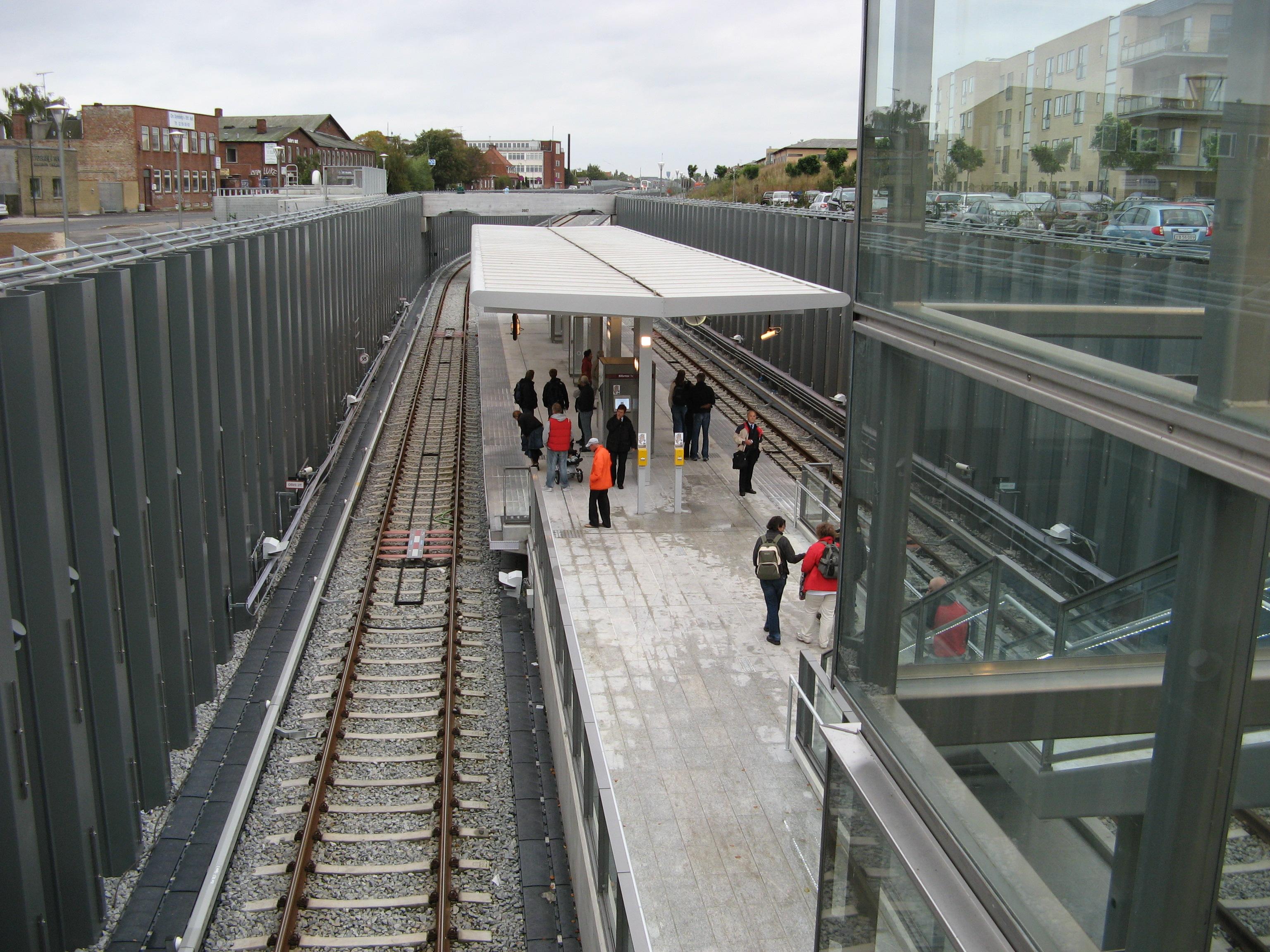 Øresund station in 2007. Photo by Peter Brodersen1/2
- Forum station in 2007. Photo by Froztbyte2/2
- Øresund station in 2007. Photo by Peter Brodersen1/2
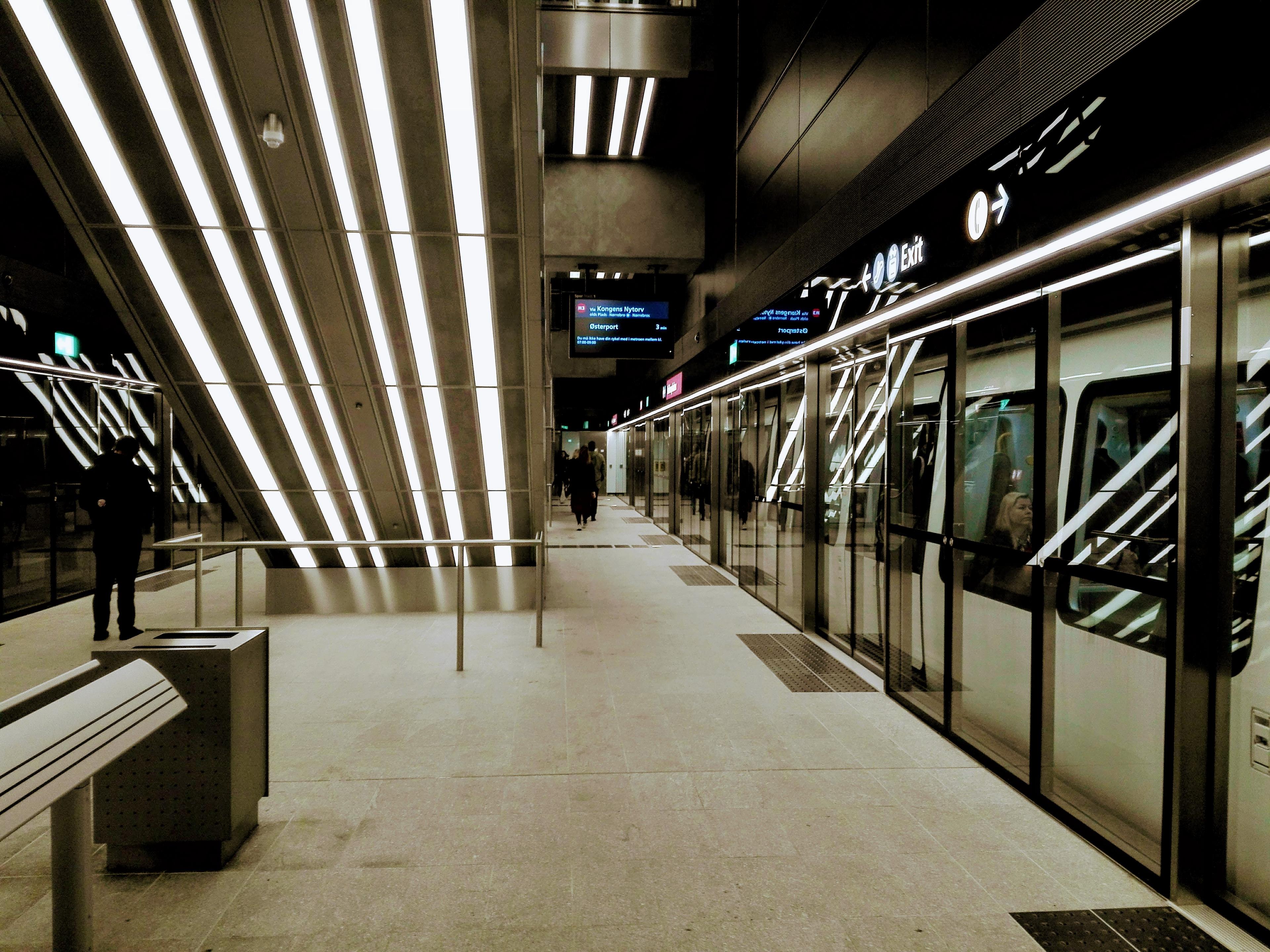
Line M3
Line colour Red
Opened 2019
Stations 17
Line M3 was being planned as lines M1 and M2 began operation. Plans for a circle line in the city centre were passed by parliament on 1st June 2007. Preparation work for the line started in 2010 and construction began in 2011. The whole line is built in tunnels underground.
The line opened on 29th September 2019. It connects with lines M1 and M2 at Frederiksberg and Kongens Nytorv.
Gallery
 Rådhuspladsen station in 2019. Photo by ArveprinsKnud3/3
 Frederiksberg Allé station in 2019. Photo by ArveprinsKnud1/3
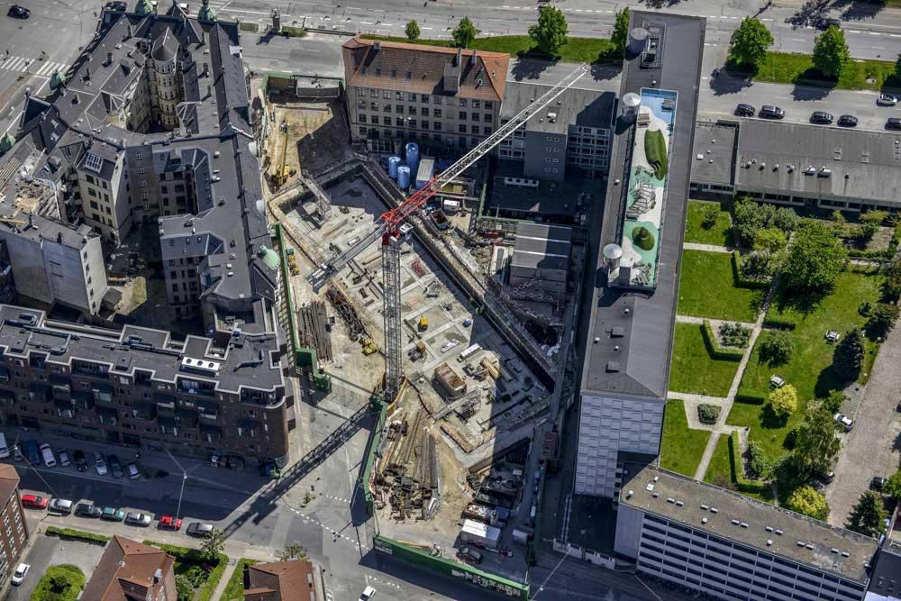 Poul Henningsens Plads station being built in 2014. Photo by Dragør Luftfoto2/3
- Rådhuspladsen station in 2019. Photo by ArveprinsKnud3/3
- Frederiksberg Allé station in 2019. Photo by ArveprinsKnud1/3
Line M4
Line colour Blue
Opened 2020
Stations 13
Line M4 was planned the same time as line M3 and shares track between København H and Østerport. The line is built in tunnels underground, except for the last station, Orientkaj.
The line opened between København H and Orientkaj on 28th March 2020. The line was extended from København H to København Syd on 22nd June 2024.
Gallery
 Mozarts Plads station on 23rd October 2024. Photo by ThatGuyOnline3/3
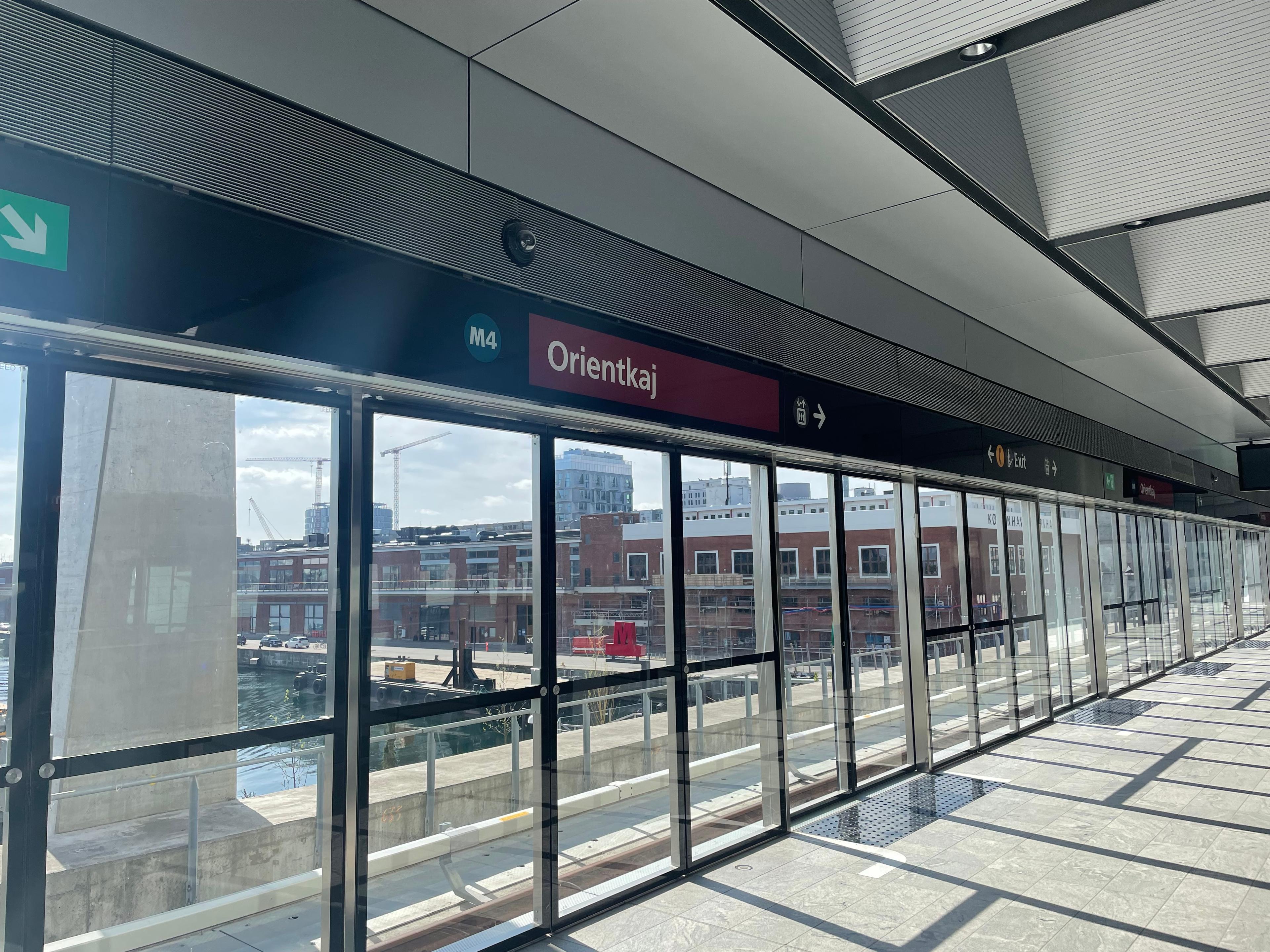 Orientkaj station on 30th April 2022. Photo by Mike19011/3
 Enghave Brygge station on 23rd October 2024. Photo by ThatGuyOnline2/3
- Mozarts Plads station on 23rd October 2024. Photo by ThatGuyOnline3/3
- Orientkaj station on 30th April 2022. Photo by Mike19011/3
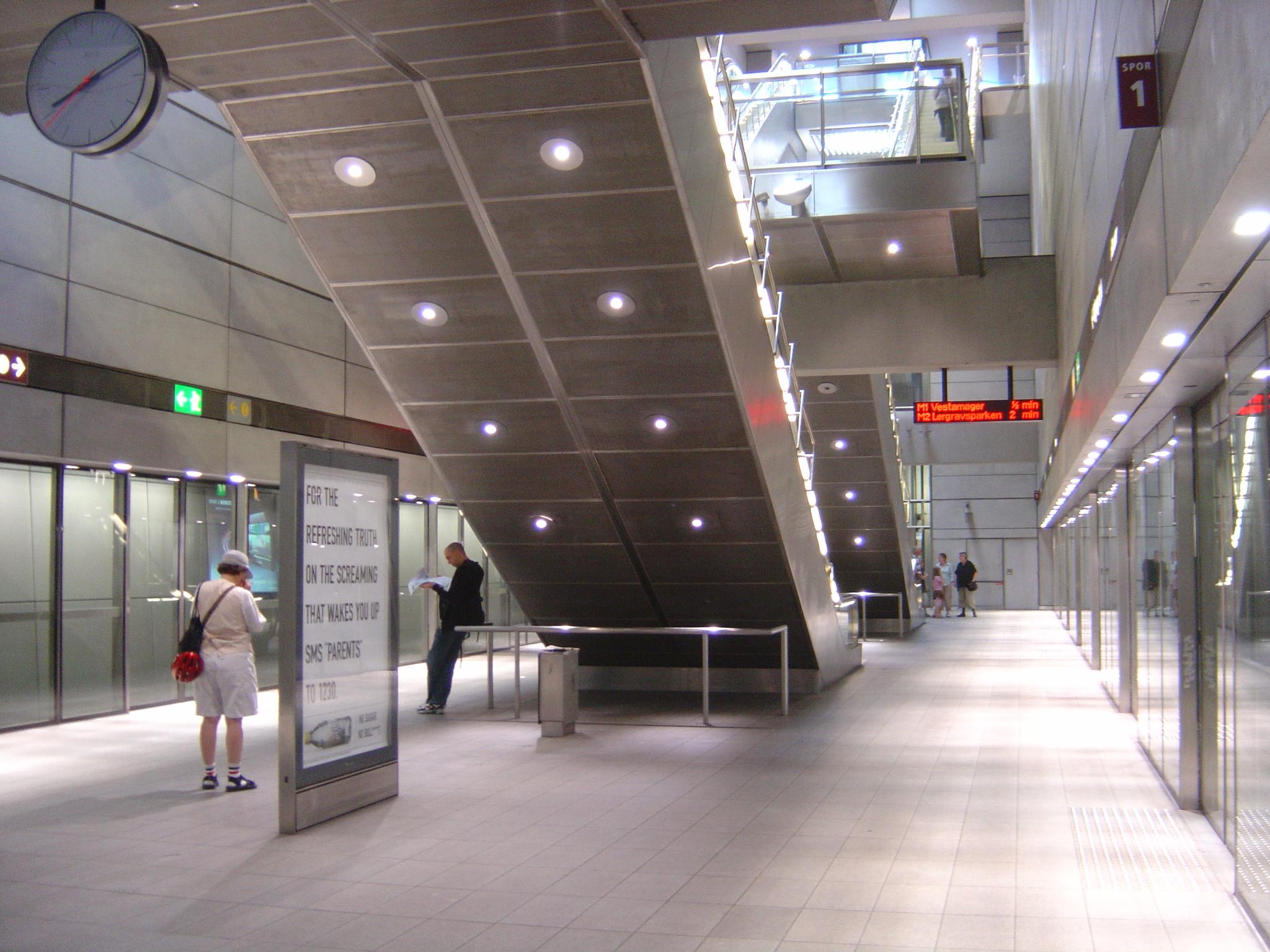
Trains
All lines use the same Hitachi Rail Italy Driverless Metro trains. Each train is made up of 3 articulated cars. The trains are powered by a third rail. The metro is fully automated with the whole network controlled from 2 command centers, one for lines M1/M2 and one for lines M3/M4.
Gallery
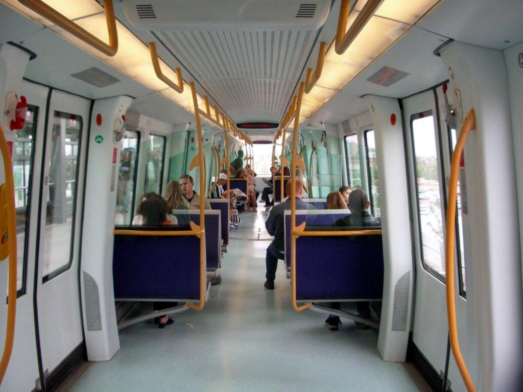 Interior of a train. Photo by Ghent
- Interior of a train. Photo by Ghent
Future
There are no agreed future plans for the network at present.
Enjoyed this content? Share it with your friends!
More maps to discover

4 line metro in south-east France
The oldest underground railway in the world

Light rail network serving Newcastle and Sunderland


Disclaimer
Please note the map is for display purposes only. This should only be used as a guide on how the network has changed over time and not as a travel tool. Please see each networks's official website for an up-to-date map for travelling around that city.
Map design is loosely based on the original concept by Harry Beck for London Underground.
Some things to note about maps:
- Only shows passenger lines.
- Does not show different services on lines.
- Shows the companies who ran services over lines, not who owned them.
- Only shows how lines intersect and in no way represents where stations are in real life, either geographically or by distance.
- Only shows stations as intersections if you can walk between lines without leaving the station(s).
- Only shows changes between years. If a station closed and opened in the same year this will not be shown etc.
- Does not show interchanges between other travel networks.
Images are copyright to their respective owners.
If you spot anything that is wrong, have suggestions or comments or suitable photos for a network, then please get in touch on our contact page.