Budapest Metro

Written by James M. Young

Updated 13th June 2023
Background

Location Budapest, Hungary
First line opened 1896
Last major update 2014

Open lines 4

Open stations 48
Budapest, the capital of Hungary, lays claim to having the 2nd oldest underground railway in the world. The first line, initially named the Millennium Underground Railway, opened on 2nd May 1896. However, it was another 74 years before the network expanded and the 2nd line opened. Currently, the network has 4 lines with the most recent having opened in 2014.
Millennium Underground Railway / Line M1
Line colour Yellow
Opened 1896
Stations 11
The Millennium Underground Railway opened on 2nd May 1896 linking Vörösmarty tér (under Vörösmarty Square) to Széchenyi fürdő (in the north-east of the city).
The line was built user the cut-and-cover technique (dig a hole under the road, make a tunnel and fill back in) with only part of the line in the north-east being above ground.
After the initial opening the Metro network remained unchanged until plans for building lines M2 and M3 were put in place in the 1960s.
At the same time as these lines were being built, The Millennium Underground Railway was renamed to Line M1, Deák Ferenc tér station was repositioned to connect better with the new lines and the north-east part was extended from Széchenyi fürdő to Mexikói út, which opened on 30th December 1973.
As part of this extension the only above ground part was redirected underground, which meant the closing of Állatkert station and Széchenyi fürdő being converted to an underground station.
The line uses Ganz MFAV trains since its upgrades in 1973. Before this, trains were run by a Hungarian subsidiary of Siemens and Halske.
Gallery
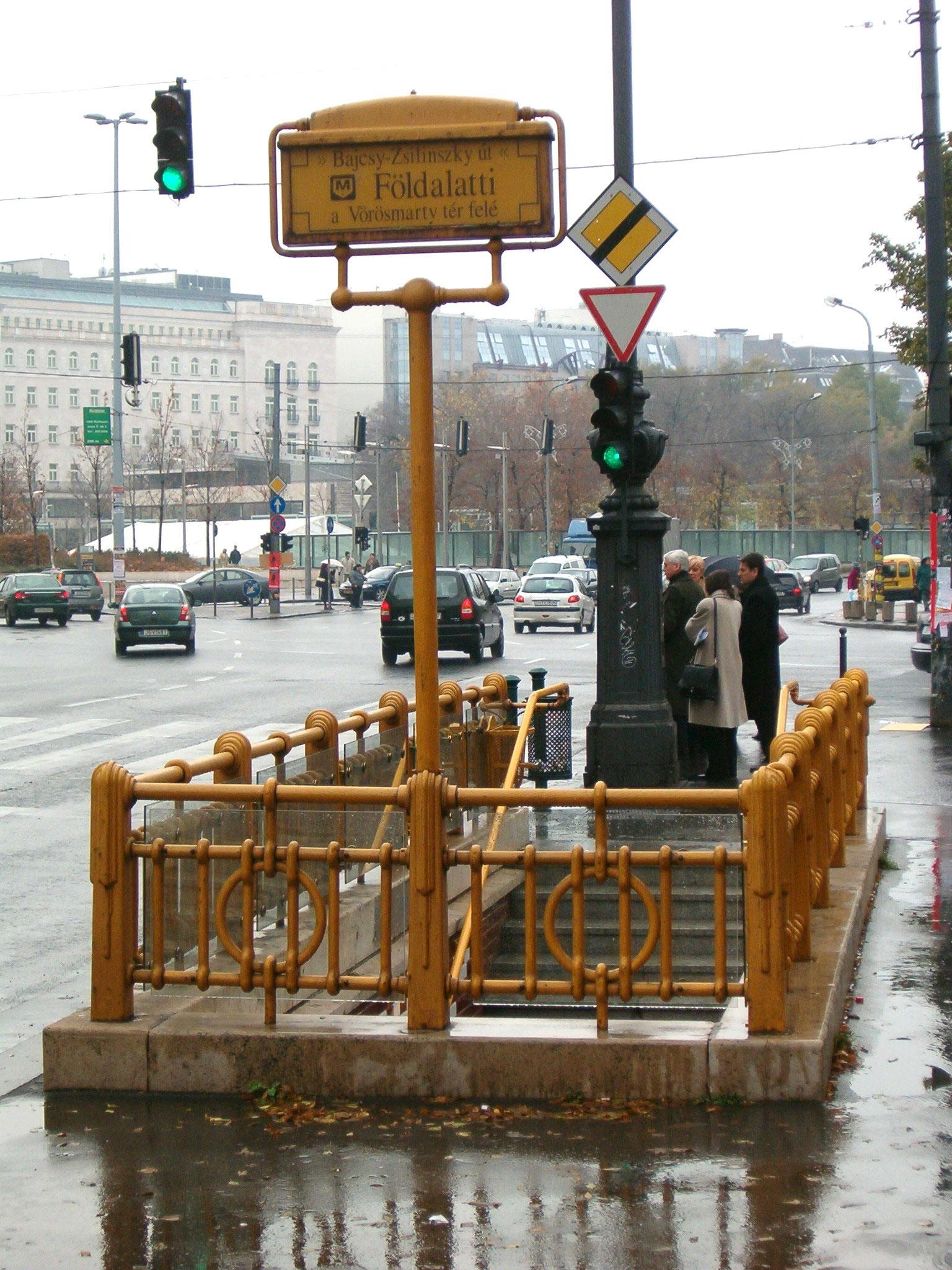 Bajcsy-Zsilinszky út station in 2011. Photo by Gubbubu4/4
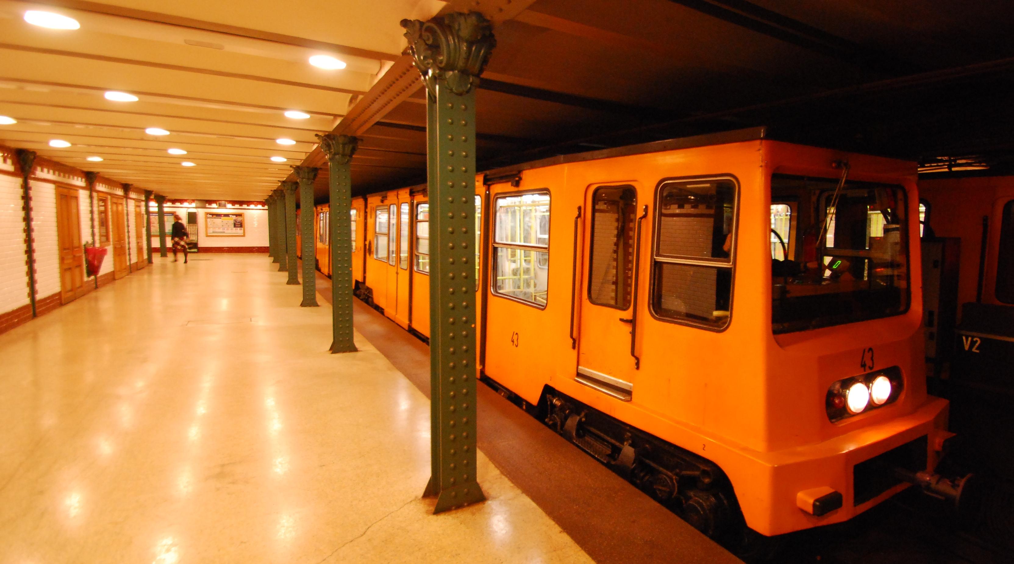 Vörösmarty tér station in 2010. Photo by Sprok1/4
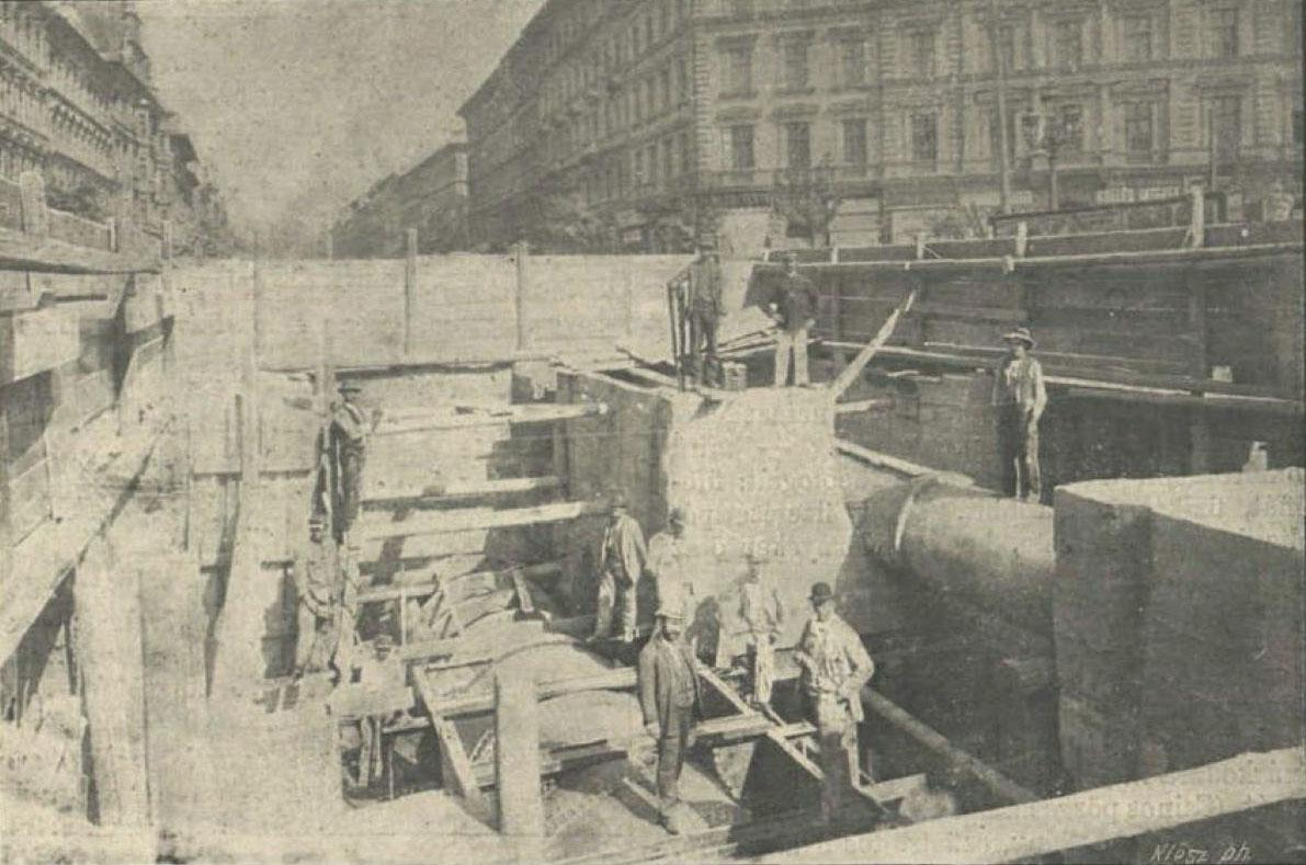 Line under construction near Oktogon station c. early 1890s2/4
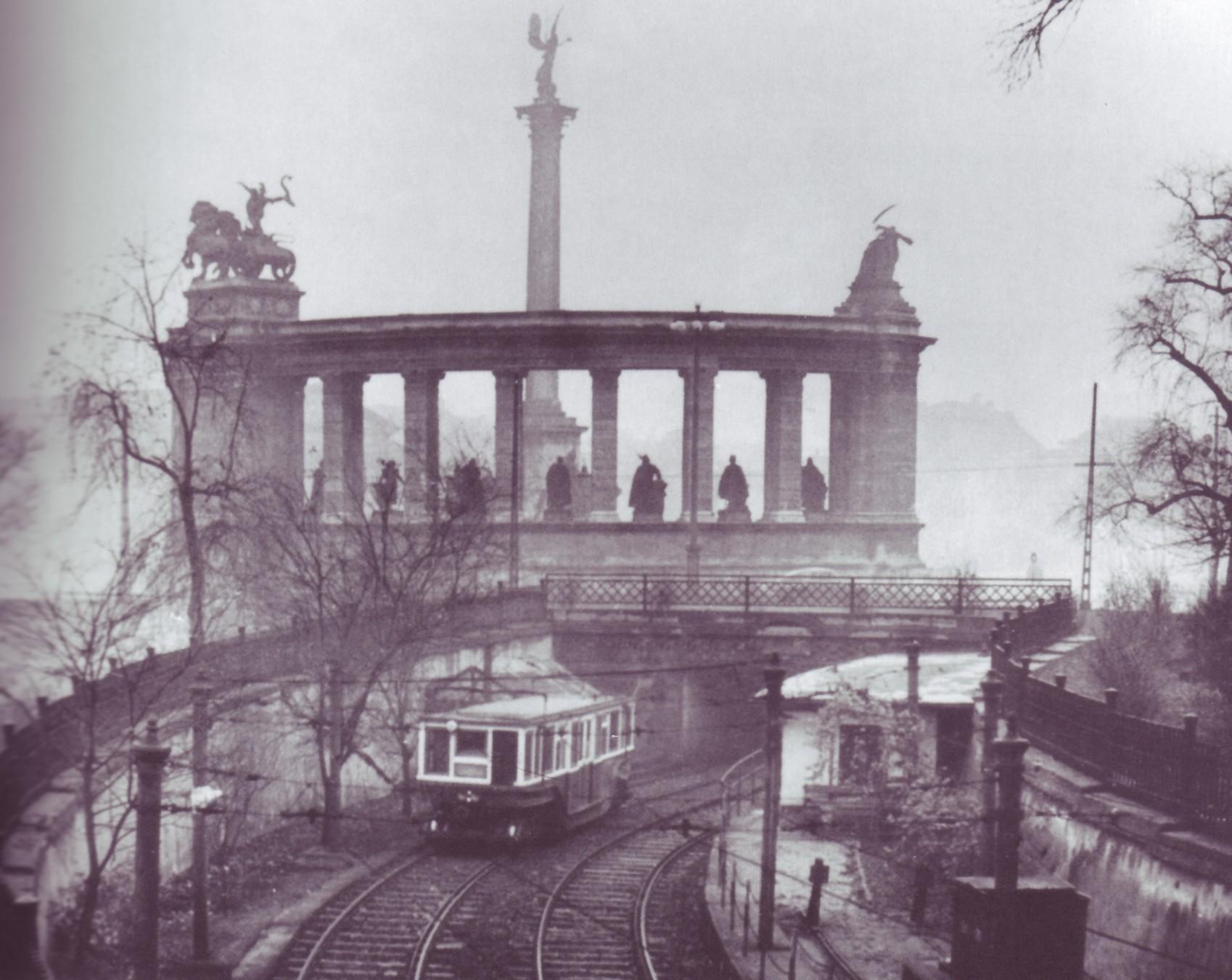 Train near Hősök tere station, date unknown3/4
- Bajcsy-Zsilinszky út station in 2011. Photo by Gubbubu4/4
- Vörösmarty tér station in 2010. Photo by Sprok1/4
Line M2
Line colour Red
Opened 1970
Stations 11
The second metro line in Budapest, M2, opened it's first part between Deák Ferenc tér and Örs vezér tere on 2nd April 1970.
This was followed in 1972 with the extension under the Danube to link Deák Ferenc tér with Déli pályaudvar.
This was the first underground line in the city to link Buda (on the east of the Danube) with Pest (on the west side).
The line used Metrovagonmash trains (Ev, Ev1, 81-717.2/714.2, 81-717.2M/714.2M and EvA) up until 2013 when they switched over to Alstom Metropolis AM5-M2.
Gallery
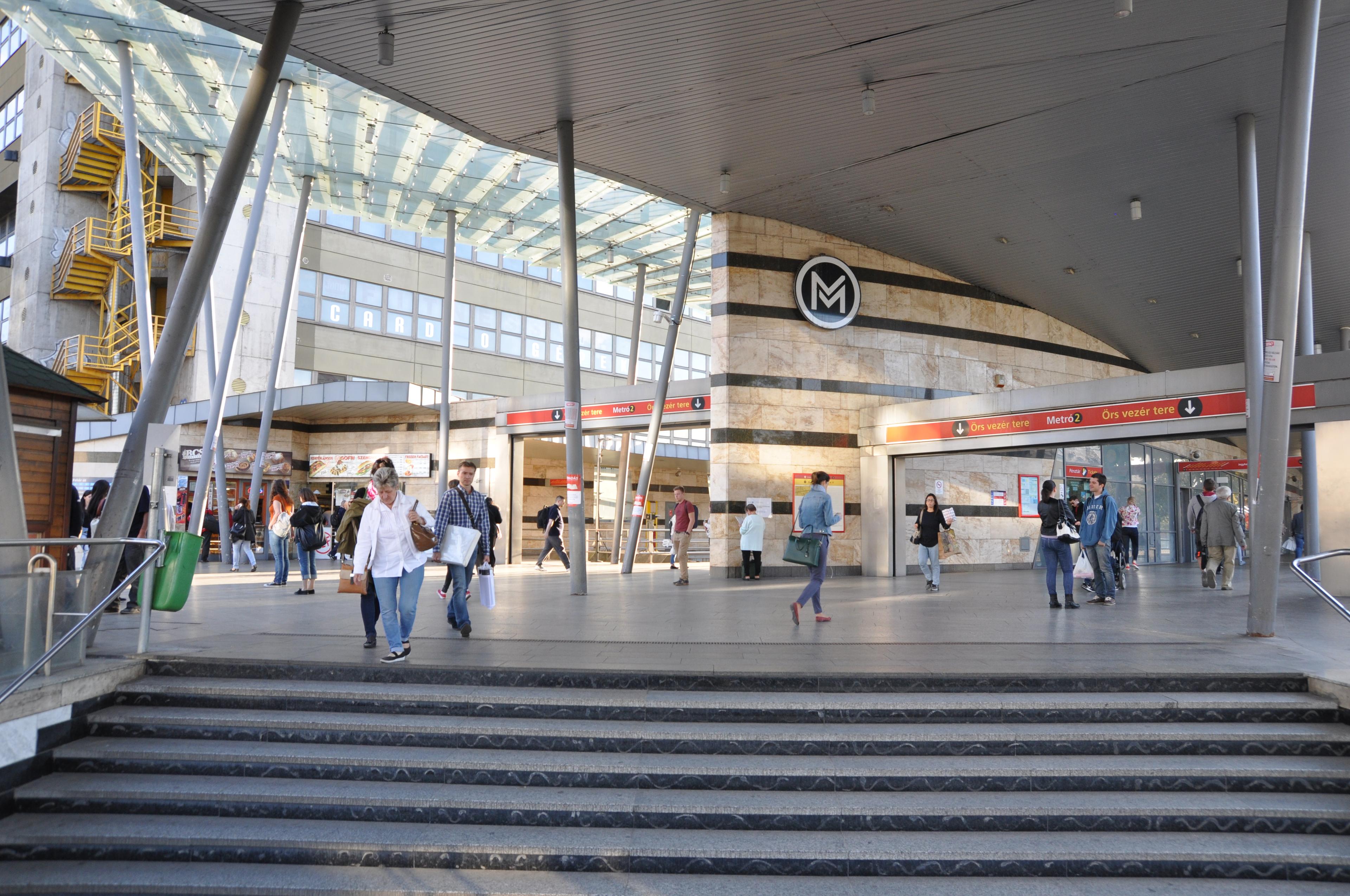 Örs vezér tere station in 2016. Photo by Christo4/4
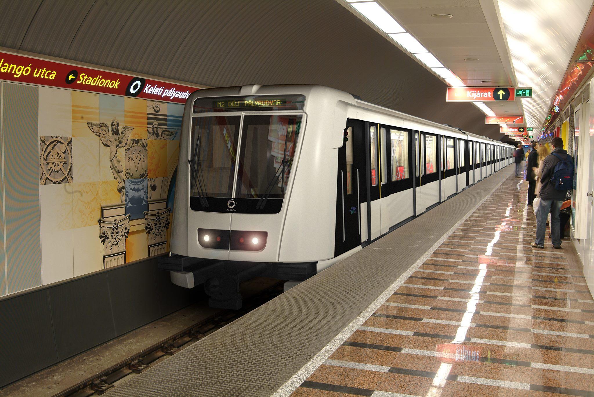 Alstom Metropolis train at Keleti-pályaudvar station in 2012. Photo by Miloton1/4
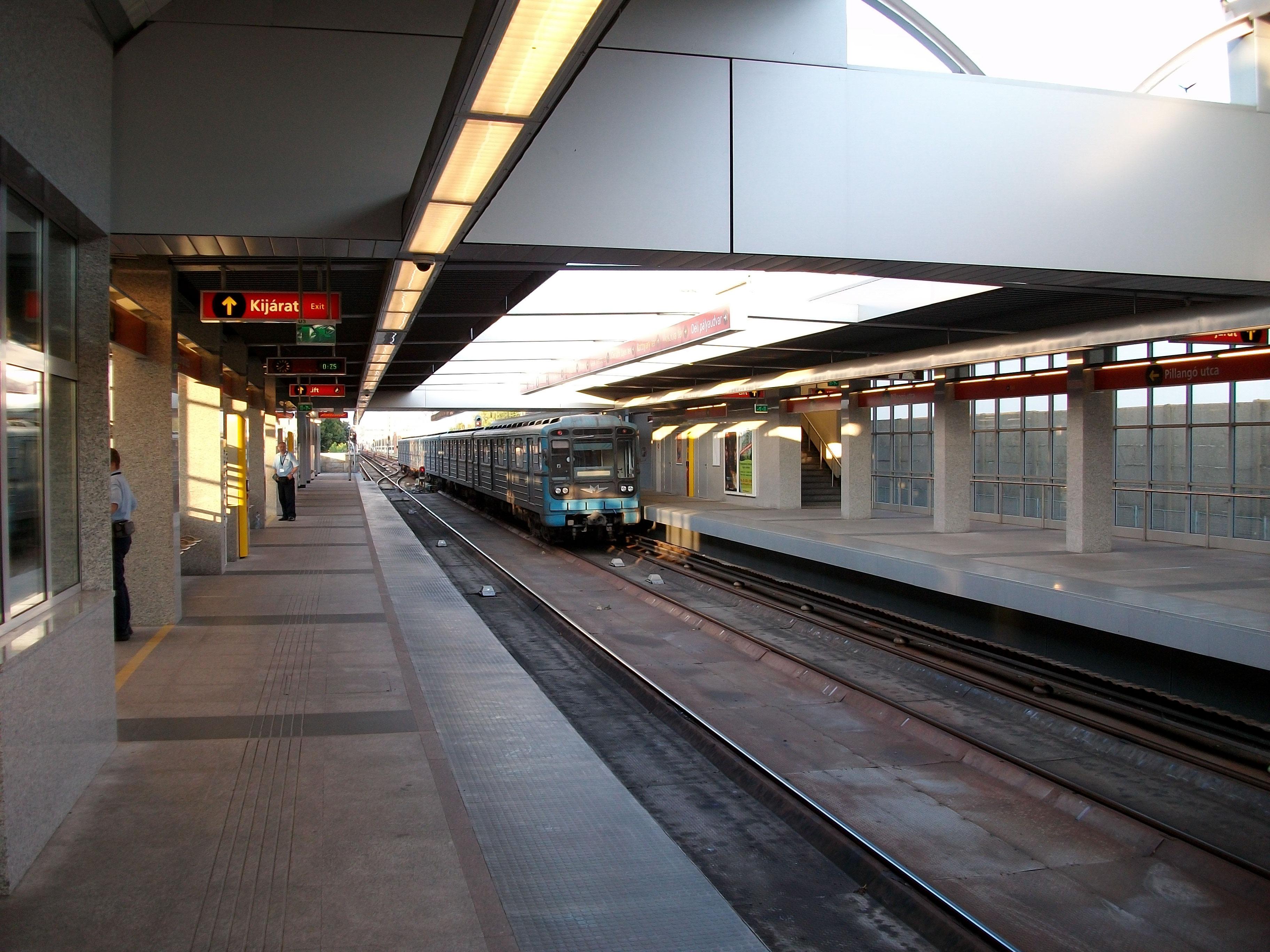 Pillangó utca station in 2009. Photo by Rovibroni2/4
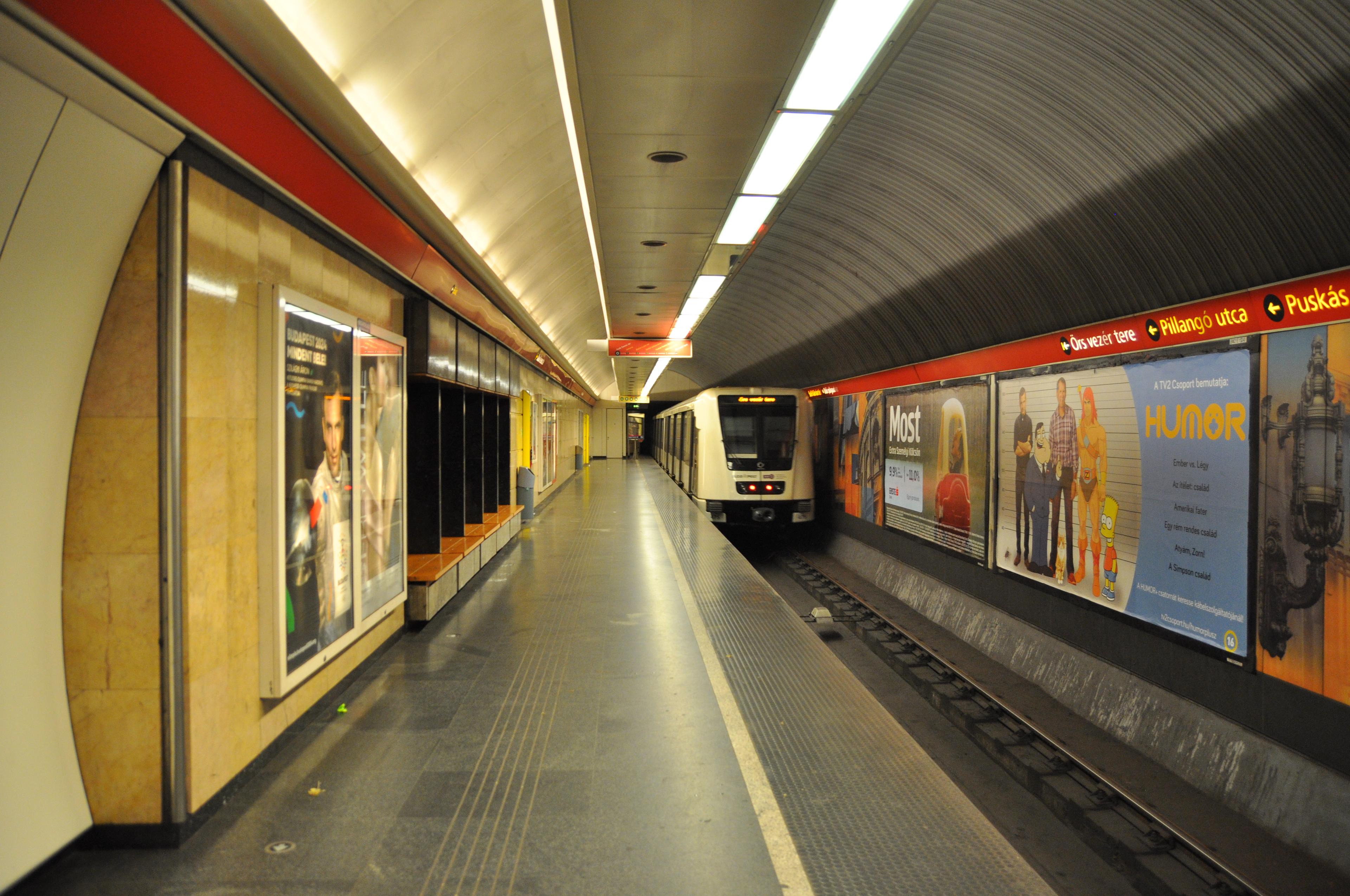 Deák Ferenc tér station in 2016. Photo by Christo3/4
- Örs vezér tere station in 2016. Photo by Christo4/4
- Alstom Metropolis train at Keleti-pályaudvar station in 2012. Photo by Miloton1/4
Line M3
Line colour Blue
Opened 1976
Stations 20
Line 3 is the longest line on the network and runs roughly north to south on the east of the Danube.
The first part opened between Deák Ferenc tér and Nagyvárad tér on 31st December 1976.
This was followed by an extension from Nagyvárad tér to Kőbánya–Kispest opening on 29th March 1980.
Further extensions opened in the north, with Deák Ferenc tér to Lehel tér on 30th December 1981, Lehel tér to Göncz Árpád városközpont on 5th November 1984 and finally Göncz Árpád városközpont to Újpest-központ on 14th December 1990.
Line M3 used Metrovagonmash Ev3 and Metrovagonmash 81-717.2/714.2 trains until 2018 when they were switched over to Metrovagonmash 81-717.2k/714.2k.
Stations and tunnels on Line M3 are currently being reconstructed. The work started in 2017 and is likely to be finished by the end of 2023.
Gallery
 Göncz Árpád városközpont station in 2019. Photo by Kemenymate4/4
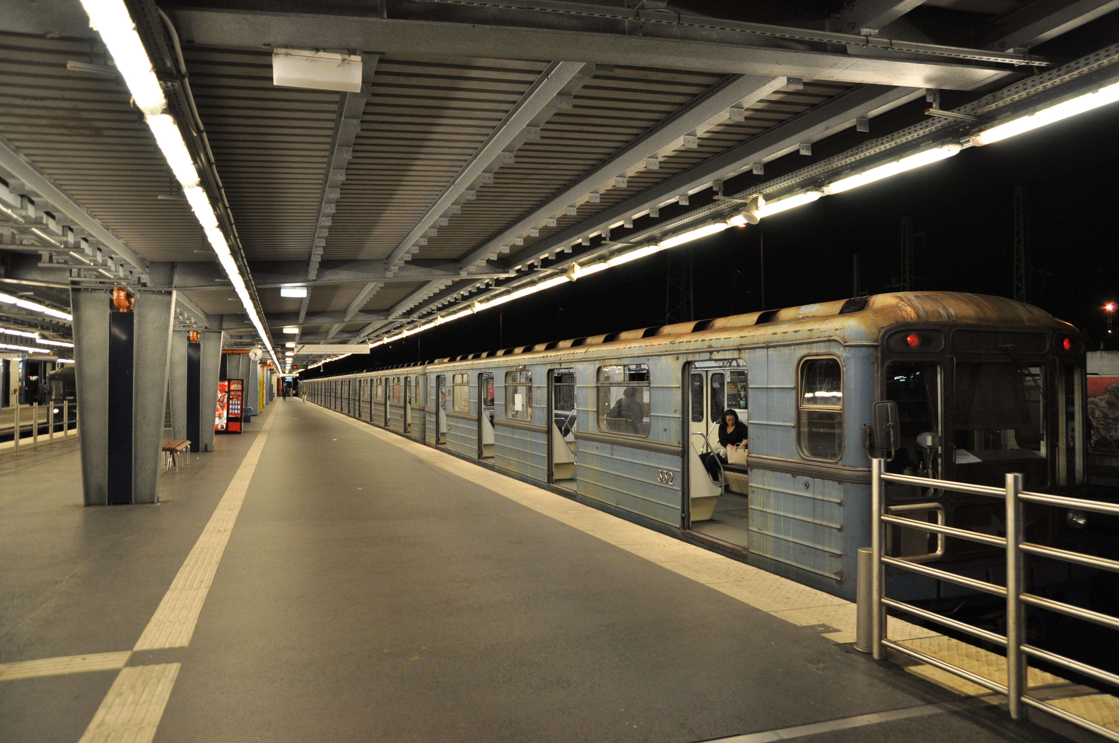 Kőbánya–Kispest station in 2016. Photo by Christo1/4
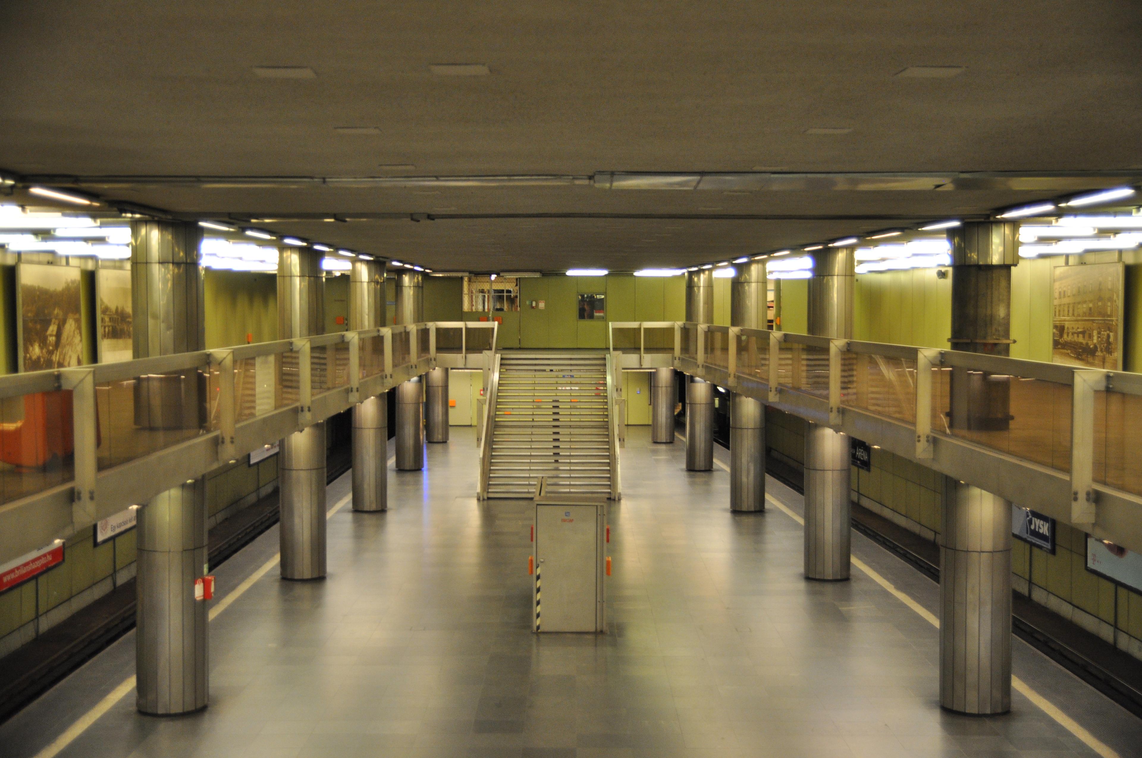 Nagyvárad tér station in 2016. Photo by Christo2/4
 Dózsa György út station in 2019. Photo by Kemenymate3/4
- Göncz Árpád városközpont station in 2019. Photo by Kemenymate4/4
- Kőbánya–Kispest station in 2016. Photo by Christo1/4
Line M4
Line colour Green
Opened 2014
Stations 10
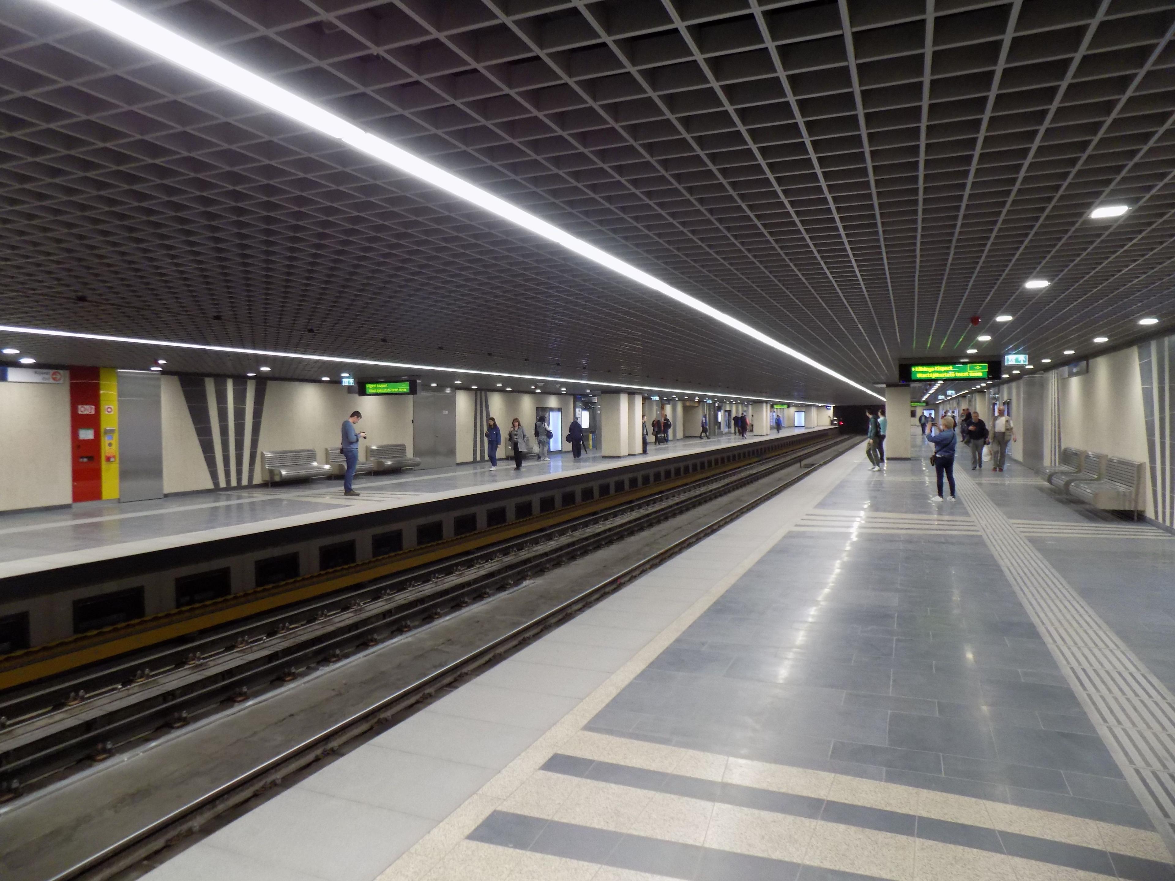
Line 4 is the newest line on the network and opened between Kelenföld vasútállomás and Keleti pályaudvar on 28th March 2014.
Like Line 2 it crosses from the Danube serving both Buda and Pest. The line runs from the centre of Pest in a south-west direction, connecting with lines M2 and M3.
The line is operated by automated Alstom Metropolis driverless trains.
Gallery
 Szent Gellért tér – Műegyetem station in 2014. Photo by SimonTrew
- Szent Gellért tér – Műegyetem station in 2014. Photo by SimonTrew
Future
There are a few schemes currently being considered.
Line M4 extensions
When Line 4 was built it was planned to be extended at both ends, taking the total stations on the line to 16. However, at this time funding has been cut and these extensions are unlikely to go ahead in the near future.
Line M5
There are discussions about building a new line which would run north to south connecting main line railway stations with the rest of the metro network. This is just at the proposal stage and is unlikely to be started until 2030.
Enjoyed this content? Share it with your friends!
More maps to discover

Driverless metro in Copenhagen, Denmark

4 line metro in south-east France
The oldest underground railway in the world


Disclaimer
Please note the map is for display purposes only. This should only be used as a guide on how the network has changed over time and not as a travel tool. Please see each networks's official website for an up-to-date map for travelling around that city.
Map design is loosely based on the original concept by Harry Beck for London Underground.
Some things to note about maps:
- Only shows passenger lines.
- Does not show different services on lines.
- Shows the companies who ran services over lines, not who owned them.
- Only shows how lines intersect and in no way represents where stations are in real life, either geographically or by distance.
- Only shows stations as intersections if you can walk between lines without leaving the station(s).
- Only shows changes between years. If a station closed and opened in the same year this will not be shown etc.
- Does not show interchanges between other travel networks.
Images are copyright to their respective owners.
If you spot anything that is wrong, have suggestions or comments or suitable photos for a network, then please get in touch on our contact page.