Hamburg U-Bahn

Written by James M. Young

Updated 21st June 2023
Background

Location Hamburg, Germany
First line opened 1912
Last major update 2019

Open lines 4

Open stations 93
Hamburg is situated on the northern tip of Germany on the banks of the river Elbe. When first opened in 1912 the network was part of the Ringbahn, a ring line in the center of the city. This was quickly expanded, becoming a large network by the 1960's. At this time the Ringbahn was split into 3 lines. U4 was added in 2012 to increase service on the busiest part of the network. The network carried 242.5 million passengers in 2017.
Ringbahn
Line colour Green
Opened 1912
Transferred to U21, U3 1967
Stations 67
Initially the Hamburg U-Bahn was built as a single network called the Ringbahn. The first part of this to open was the ring in the city centre which opened on 15th February 1912. This was built with a mixture of tunnels and elevated sections with little of the railway at street level.
Plans to extend the initial ring were made even before the first part was opened. On 21st October 1913 the line was extended from Schlump to Emilienstraße. This was further extended from Emilienstraße to Hellkamp on 23rd May 1914.
The line was also extended from Kellinghusenstraße to Ohlsdorf on 1st December 1914. The Ringbahn was extended from Hauptbahnhof to Rothenburgsort, opening in 1915.
In 1920 the line was extended from Barmbeck to Volksdorf, opening on 6th September 1920. The line was extended from Ohlsdorf to Ochsenzoll, opening on 1st July 1921. The line at Volksdorf was further extended from Volksdorf to Großhansdorf which opened on 5th November 1921. In 1925 the line was extended from Volksdorf to Ohlstedt, opening on 1st February 1925.
On 2nd June 1929 the branch from Kellinghusenstraße was split and a new tunnel dug to connect it to Stephansplatz near the center of the city. This was extended from Stephansplatz to Jungfernstieg on 25th March 1931.
After this no major changes were made due to the outbreak of World War II. At the end of the war the network was badly damaged. The branch from Hauptbahnhof to Rothenburgsort was so bad it was closed permanently in 1943.
By 1960 plans to upgrade the network were under way. The first part of this was extending the line from Jungfernstieg to Meßberg which opened on 22nd February 1960. This was extended from Meßberg to Hauptbahnhof on 2nd October 1960. Hauptbahnhof to Lübecker Straße was opened on 2nd July 1961 and Lübecker Straße to Wartenau on 1st October 1961. On 28th October 1962 Wartenau was extended to Wandsbek Markt. On 3rd March 1963 Wandsbek Markt was connected to Straßburger Straße and finally Straßburger Straße was connected to Wandsbek-Gartenstadt on 4th August 1963.
The line between Schlump and Hellkamp was closed for refurbishment on 1st May 1964. Hellkamp station closed permanently. An extension from Emilienstraße to Lutterothstraße opened on 30th May 1965, including the rest of the line from Schlump to Emilienstraße.
On 22nd May 1966 the Ringbahn was split up into separate lines. The part between Ochsenzoll and Ohlstedt/Großhansdorf was transferred to U1. The part between Schlump and Lutterothstraße was transferred to U22.
The final part of the Ringbahn was transferred on 2nd January 1967. The part between Berliner Tor and Wandsbek-Gartenstadt was transferred to U21. The rest of the inner circle became part of U3.
Gallery
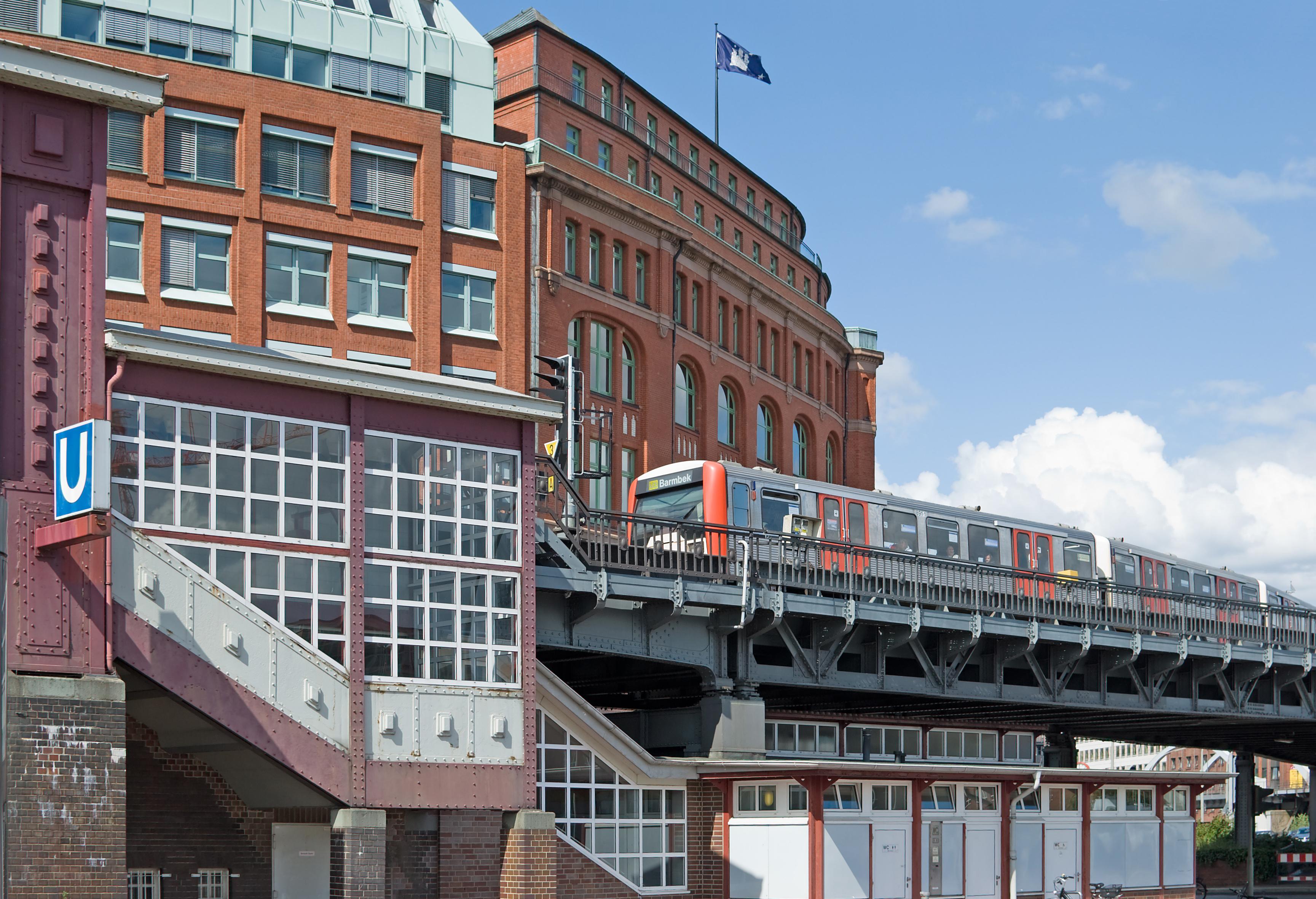 Viaduct on Ringbahn in 2009. Photo by Nawi112
- Viaduct on Ringbahn in 2009. Photo by Nawi112
U1
Line colour Blue
Opened 1966
Stations 47
Line U1 was created from part of the Ringbahn between Ochsenzoll and Ohlstedt/Großhansdorf and began operation on 22nd May 1966. The line has only had 2 extension since then. One from Ochsenzoll to Garstedt on 1st June 1969. The second from Garstedt to Norderstedt Mitte which opened on 28th September 1996.
Gallery
 Ritterstraße station in 2011. Photo by NordNordWest6/6
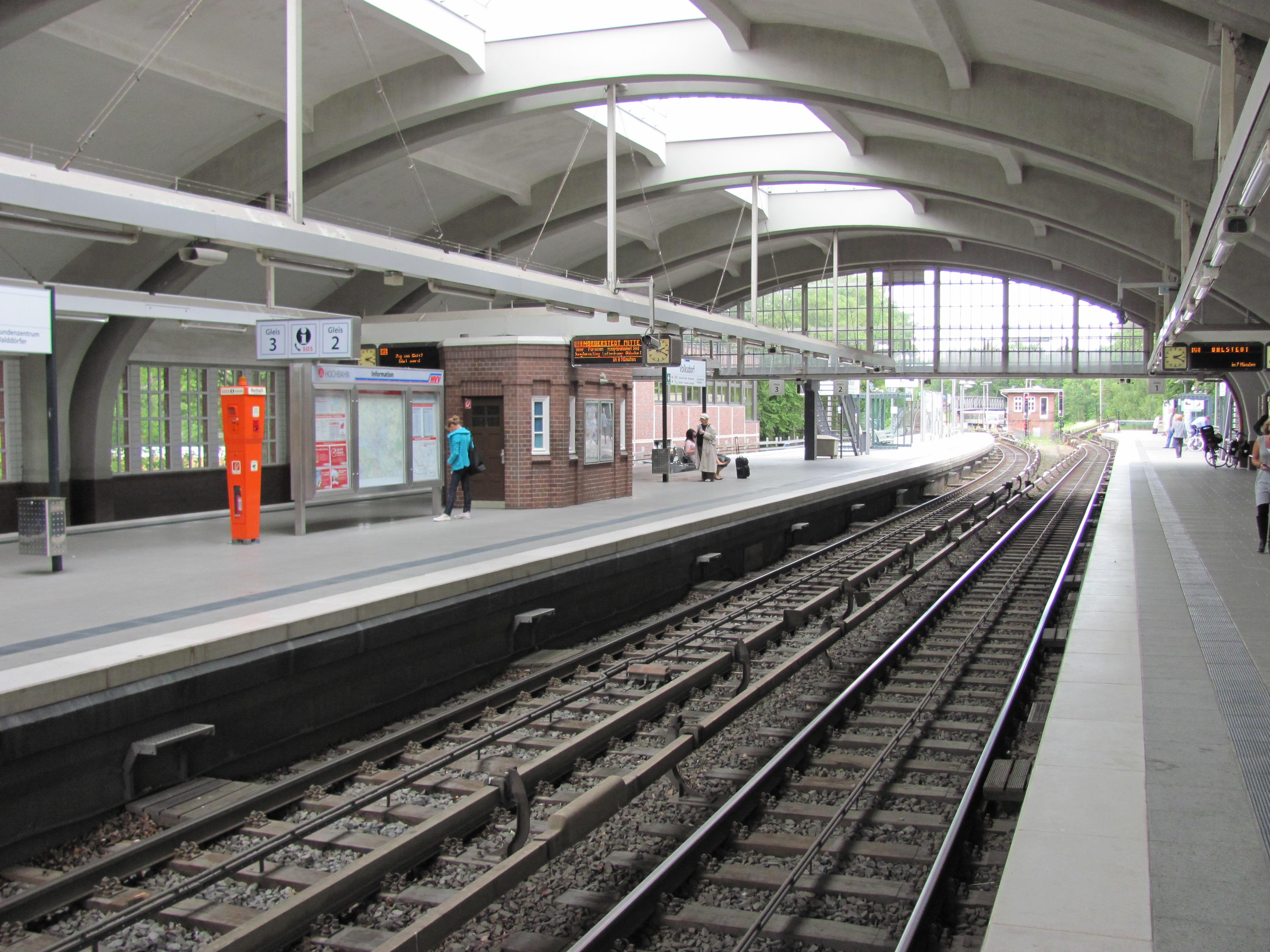 Volksdorf station in 2011. Photo by NordNordWest1/6
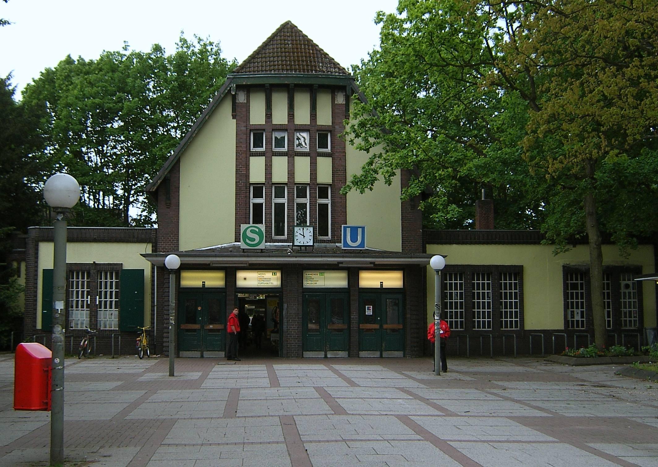 Ohlsdorf station in 2006. Photo by Staro12/6
 Ochsenzoll station in 2009. Photo by Rmw733/6
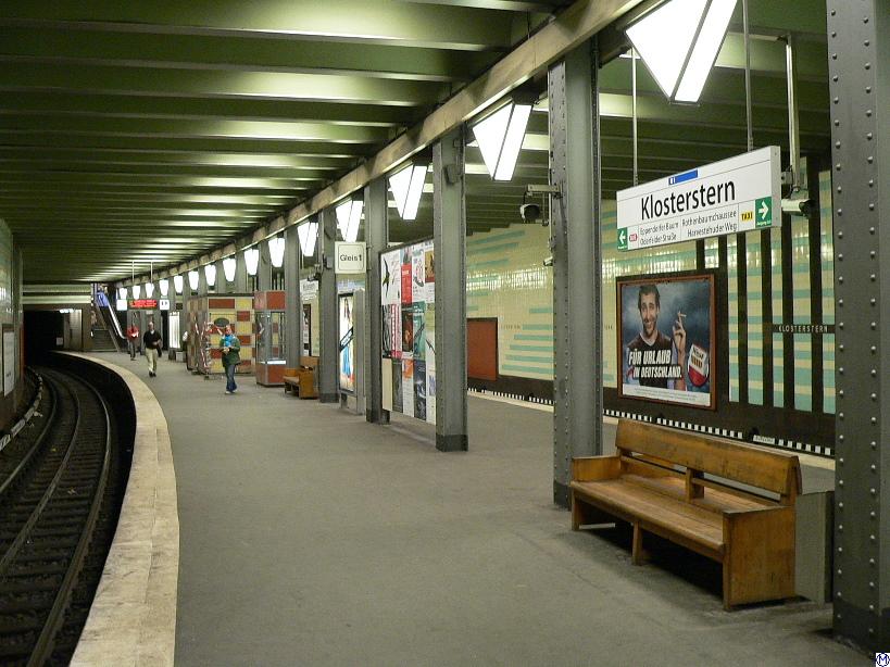 Klosterstern station in 2005. Photo by Wmeinhart4/6
 Wartenau station in 2011. Photo by NordNordWest5/6
- Ritterstraße station in 2011. Photo by NordNordWest6/6
- Volksdorf station in 2011. Photo by NordNordWest1/6
U2 (initially U21 & U22)
Line colour Red
Opened 1966
Stations 25
Line U2 was created from parts of the Ringbahn. Eventually it would create a new line through the city centre, but at the start it had a part in the east and a part in the west.
The part in the west was named U22 and ran from Schlump to Hagenbecks Tierpark, which opened on 22nd May 1966. This was extended from Schlump to Gänsemarkt on 31st May 1970.
The part in the east was named U21 and ran from Berliner Tor to Wandsbek-Gartenstadt, which opened on 2nd January 1967. This was extended from Berliner Tor to Hauptbahnhof Nord on 29th September 1968.
On 3rd June 1973 Gänsemarkt was connected to Hauptbahnhof Nord and U21 and U22 became part of line U2.
U2 was then further extended north. First from Hagenbecks Tierpark to Niendorf Markt on 1st June 1985. Then from Niendorf Markt to Niendorf Nord on 9th March 1991. Finally, lines U2 and U3 were switched at Berliner Tor, so U2 ran to Mümmelmannsberg instead of Wandsbek-Gartenstadt. This service change happened on 29th June 2009.
Gallery
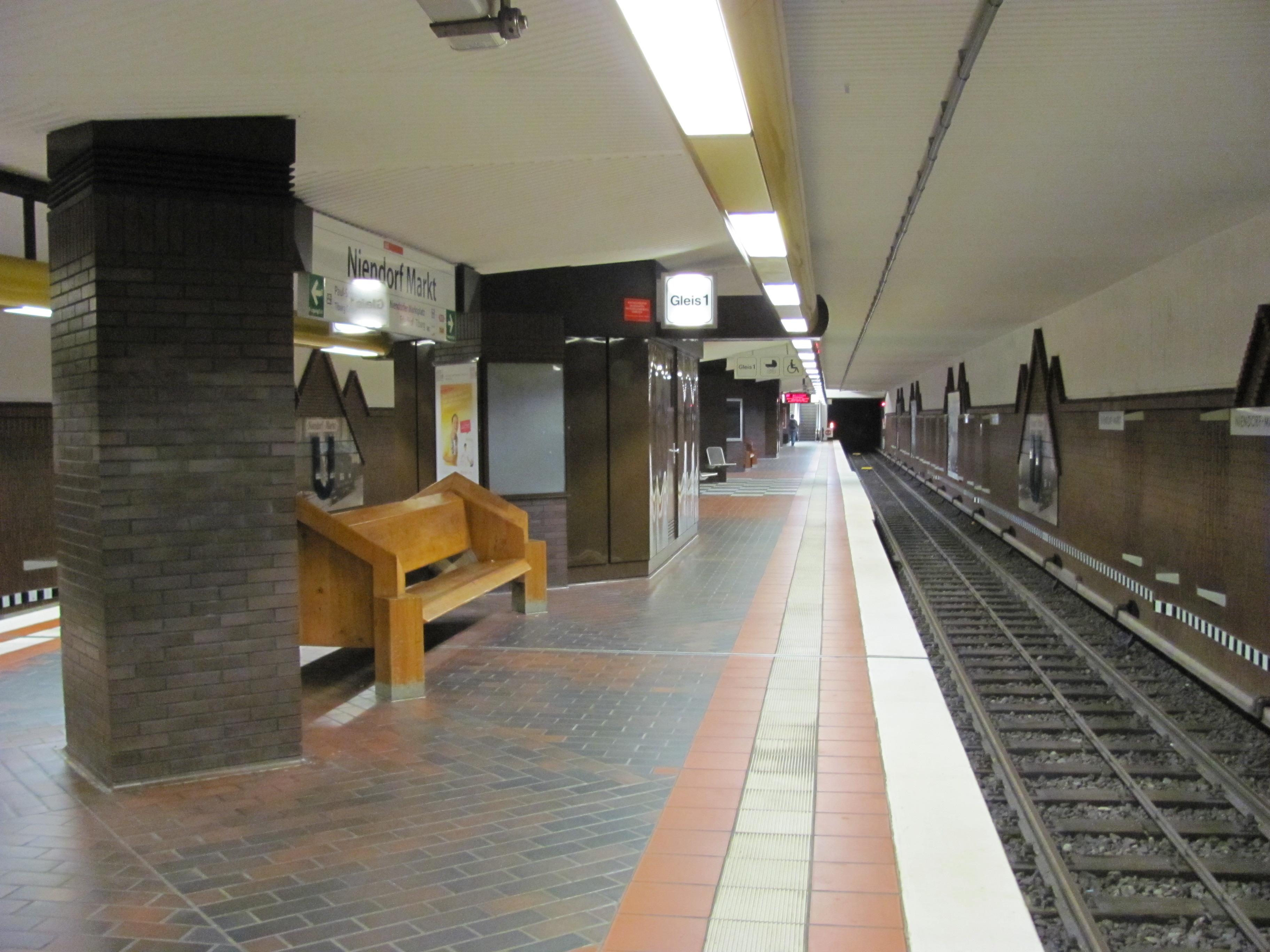 Niendorf Markt station in 2011. Photo by NordNordWest6/6
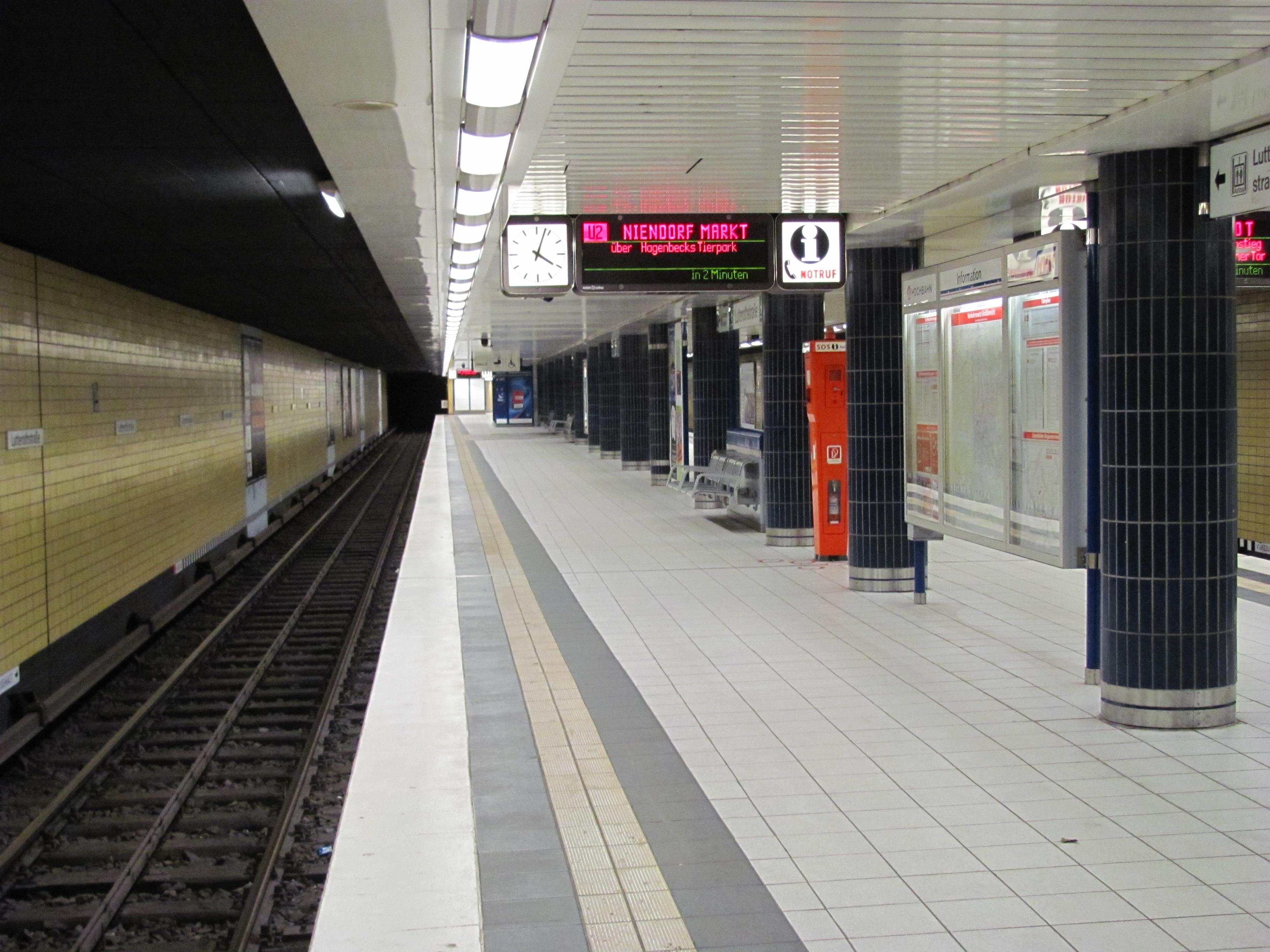 Lutterothstraße station in 2011. Photo by NordNordWest1/6
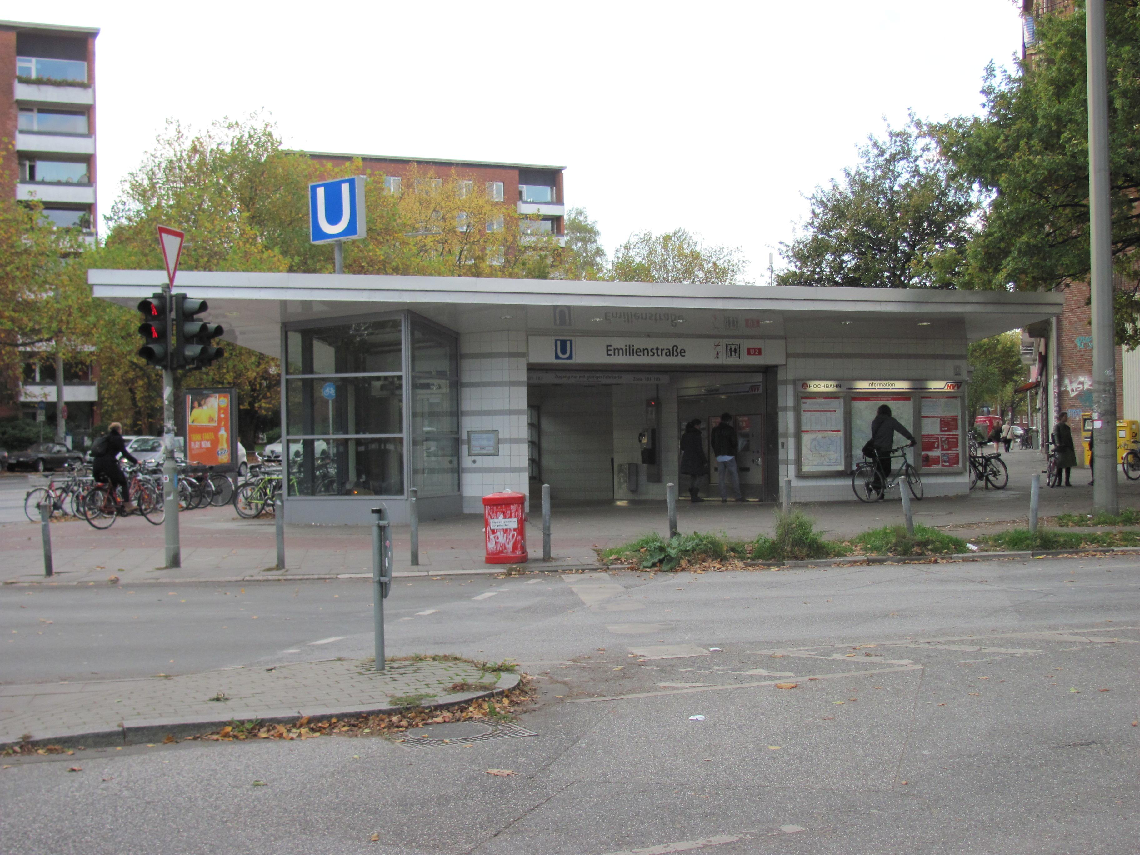 Emilienstraße station in 2014. Photo by NordNordWest2/6
 Mümmelmannsberg station in 2011. Photo by NordNordWest3/6
 Gänsemarkt station in 2011. Photo by NordNordWest4/6
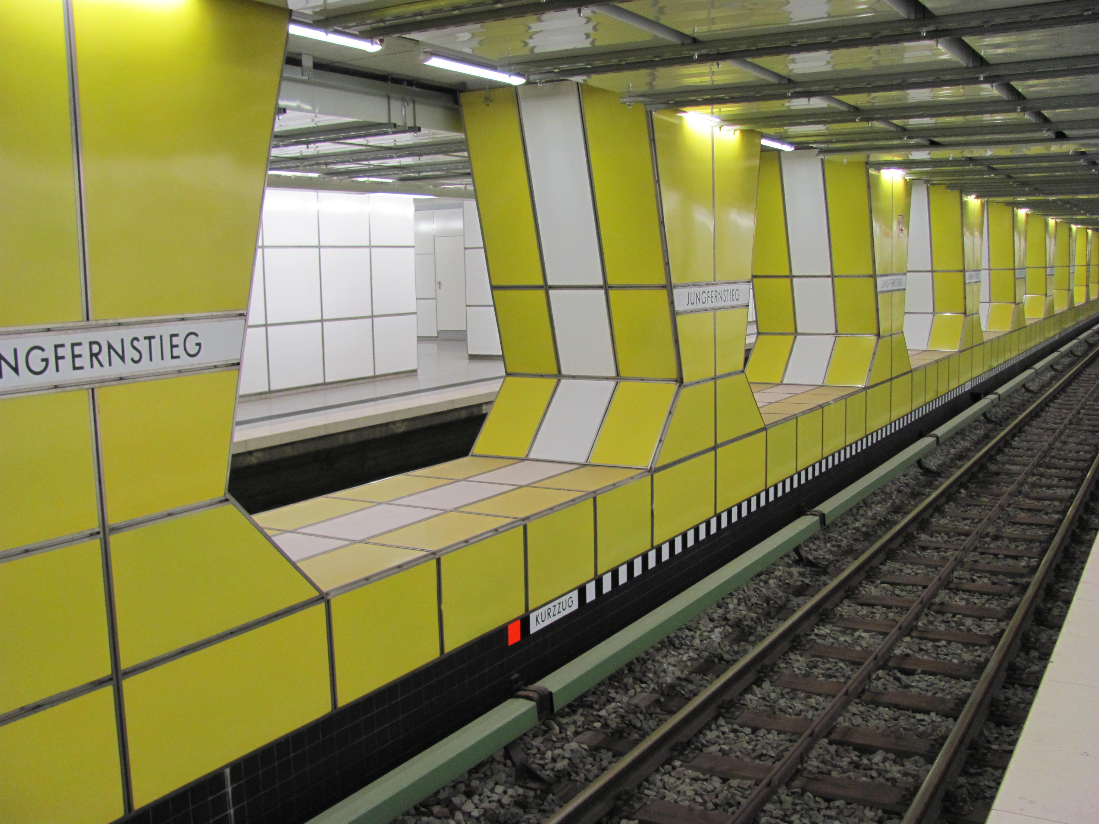 Jungfernstieg station in 2011. Photo by NordNordWest5/6
- Niendorf Markt station in 2011. Photo by NordNordWest6/6
- Lutterothstraße station in 2011. Photo by NordNordWest1/6
U3
Line colour Yellow
Opened 1967
Stations 25
Line U3 was created from part of the Ringbahn between Barmbek and Berliner Tor and began operation on 2nd January 1967. This included an extension from Berliner Tor to Horner Rennbahn. Later that year the line was extended from Horner Rennbahn to Legienstraße, opening on 24th September.
There were further extensions to U3, first from Legienstraße to Billstedt opening on 28th September 1969. Then from Billstedt to Merkenstraße opening on 31st May 1970. The final extension was from Merkenstraße to Mümmelmannsberg, opening on 29th September 1990.
In 2009, lines U2 and U3 were switched at Berliner Tor, so U3 ran to Wandsbek-Gartenstadt instead of Mümmelmannsberg. This service change happened on 29th June 2009.
Gallery
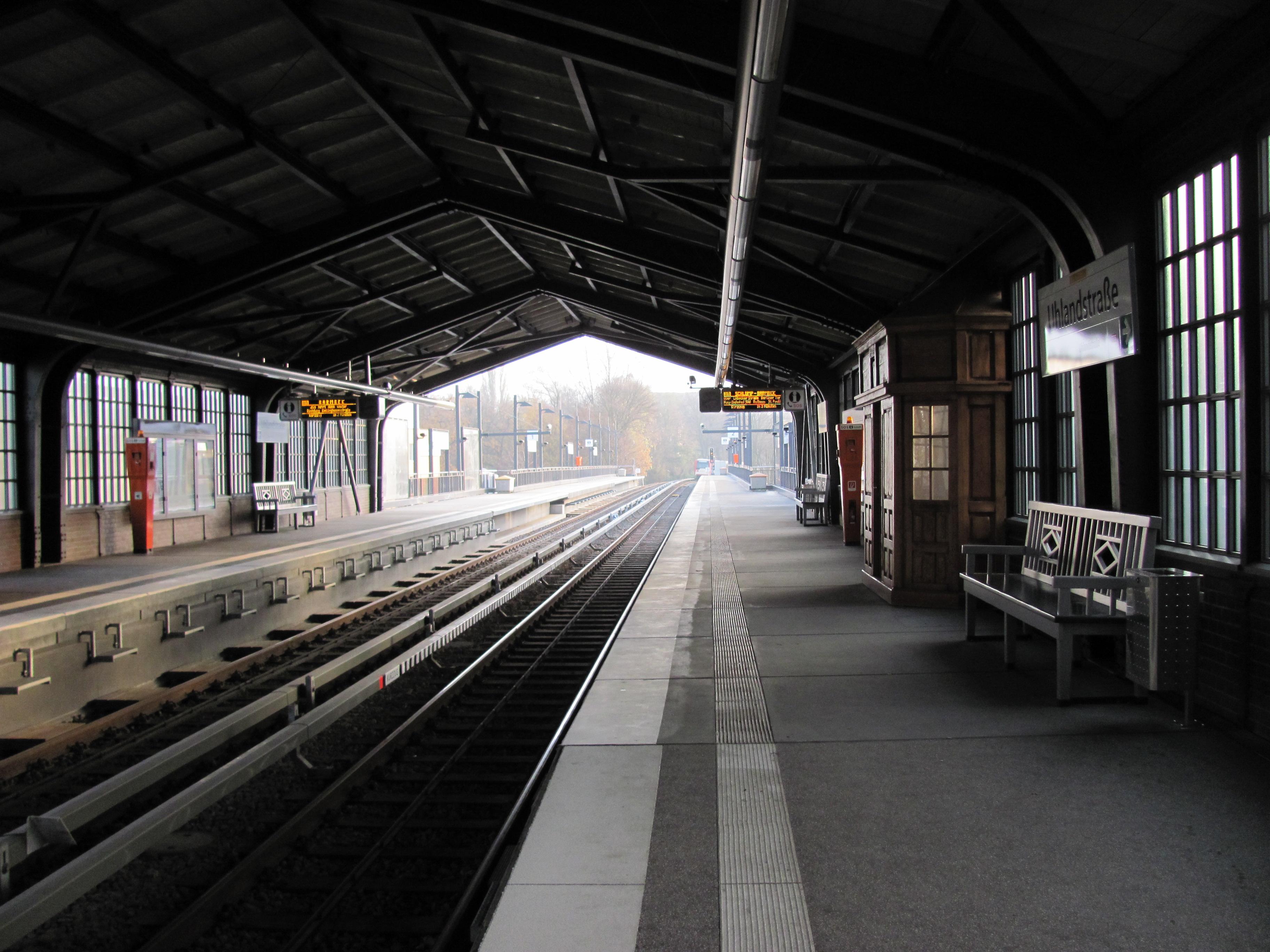 Uhlandstraße station in 2011. Photo by NordNordWest4/4
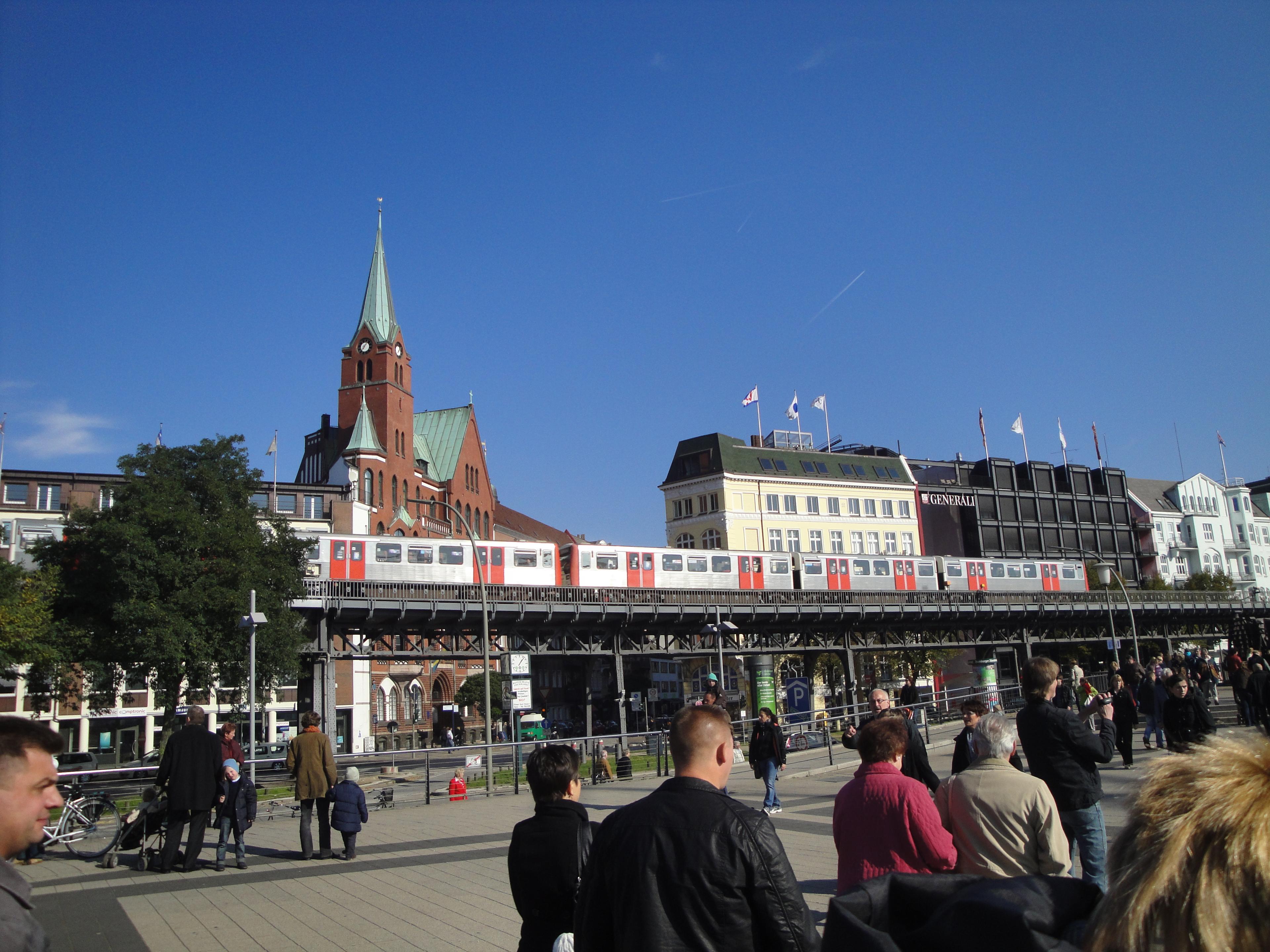 Viaduct near Landungsbrücken station in 2010. Photo by Yike G1/4
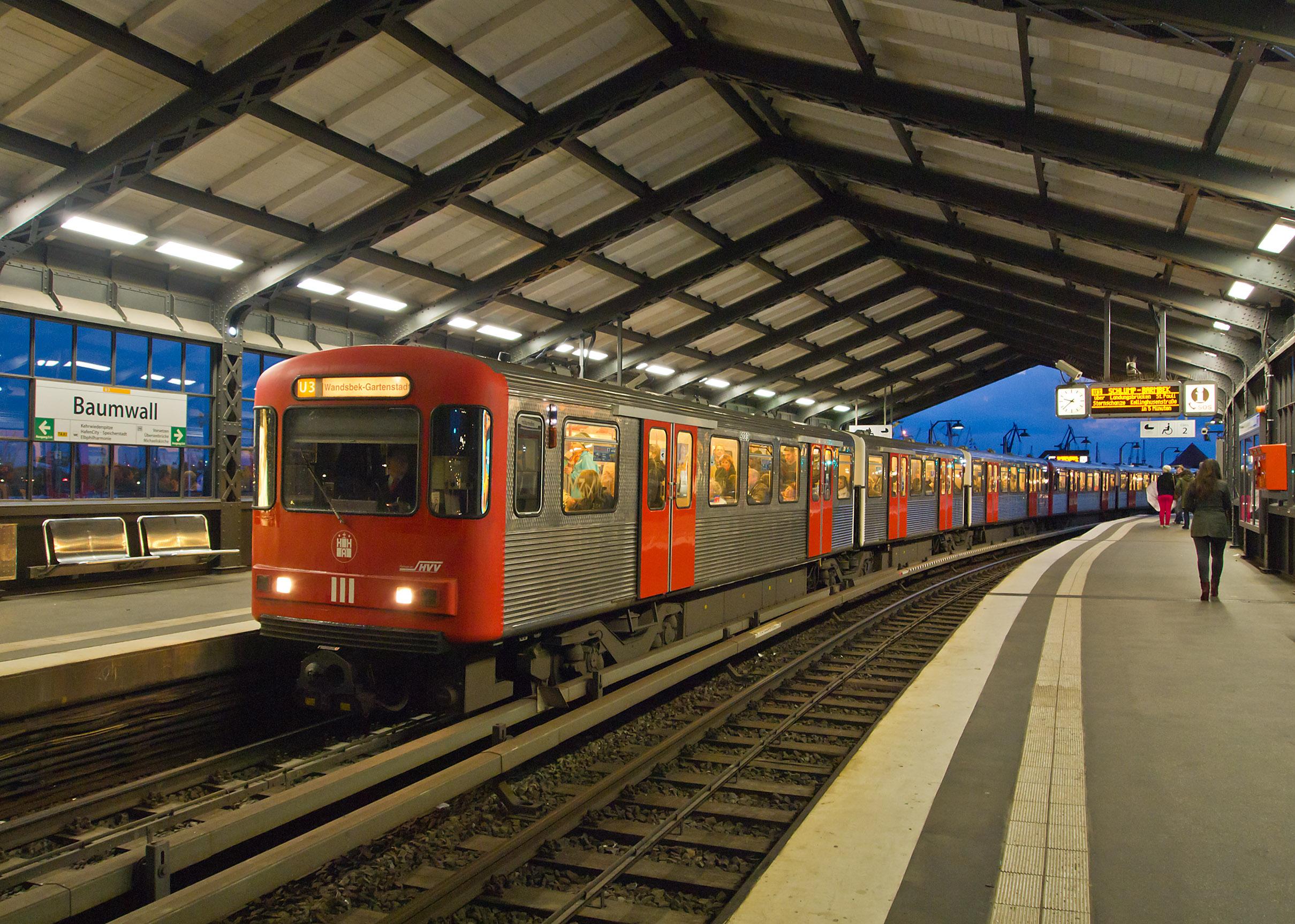 Type DT3 train at Baumwall station in 2013. Photo by Pedelecs2/4
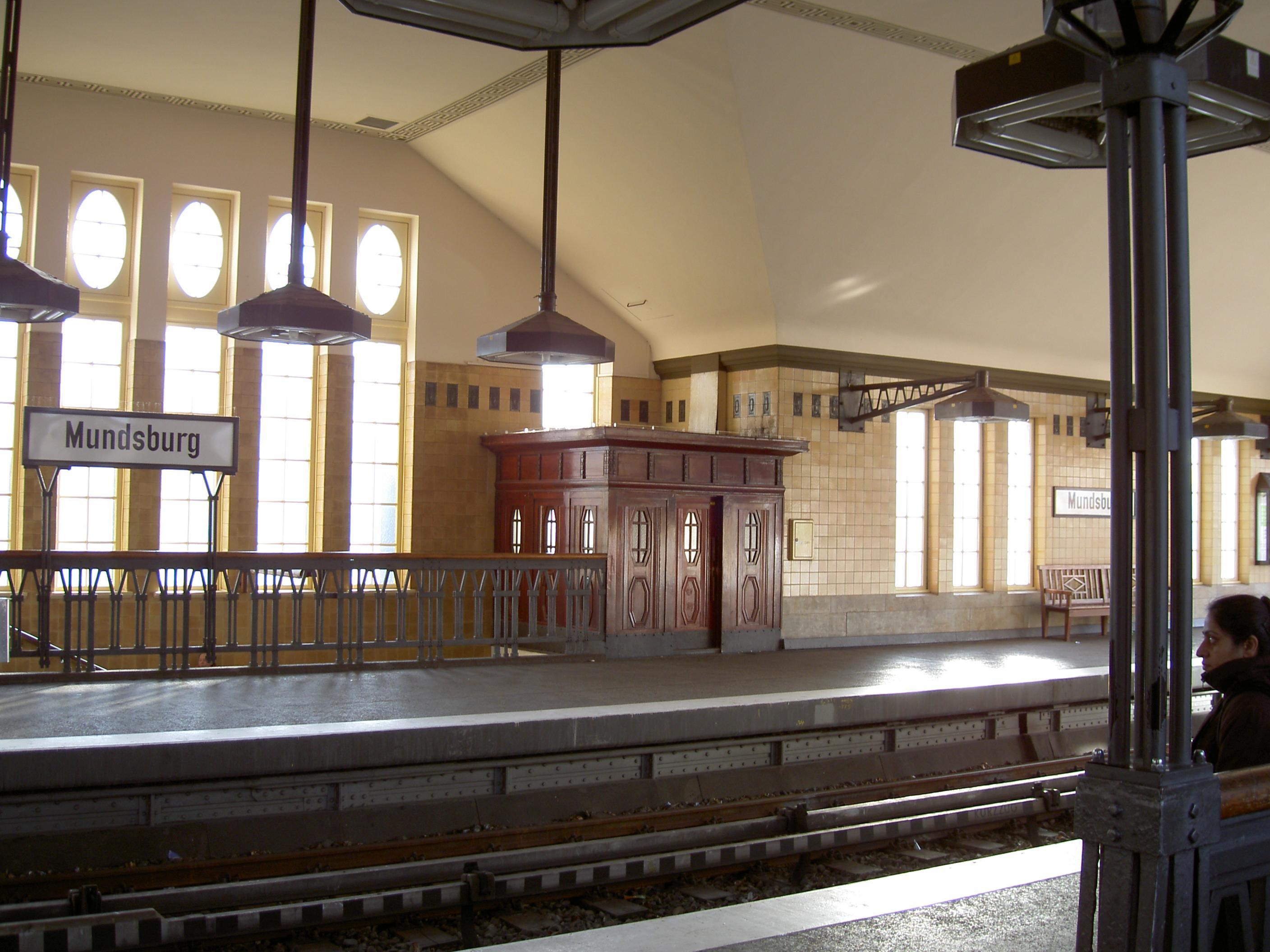 Mundsburg station in 2004. Photo by Heidas3/4
- Uhlandstraße station in 2011. Photo by NordNordWest4/4
- Viaduct near Landungsbrücken station in 2010. Photo by Yike G1/4
U4
Line colour Teal
Opened 2012
Stations 12
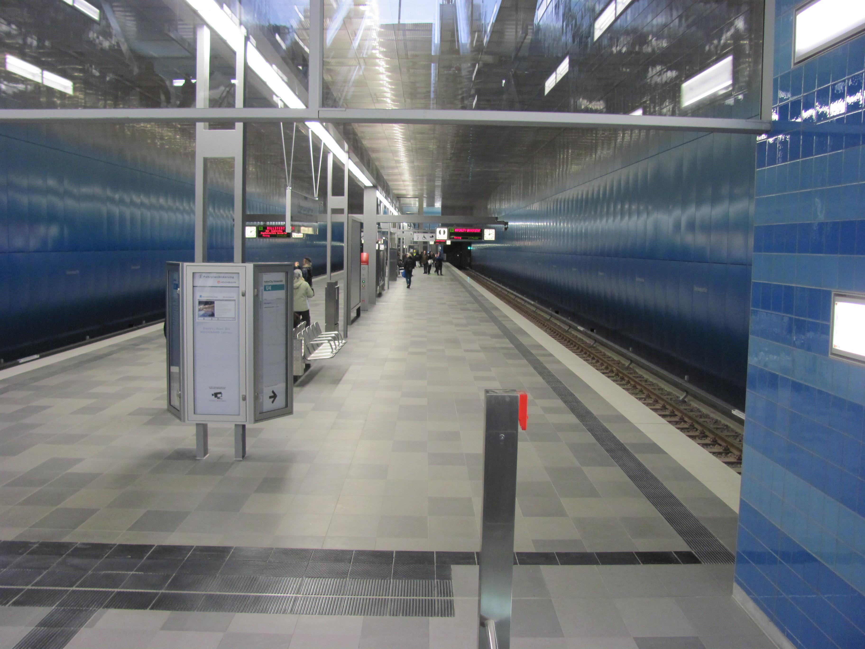
Line U4 is the newest line on the network and opened between HafenCity Universität and Billstedt on 9th December 2012. This was extended from HafenCity Universität to Elbbrücken on 7th December 2018. U4 shares track with U2 between Jungfernstieg and Billstedt.
U4 is planned to be extended from Horner Rennbahn with 2 new stations. Work on this extension is yet to start.
Gallery
 Überseequartier station in 2012. Photo NordNordWest3/3
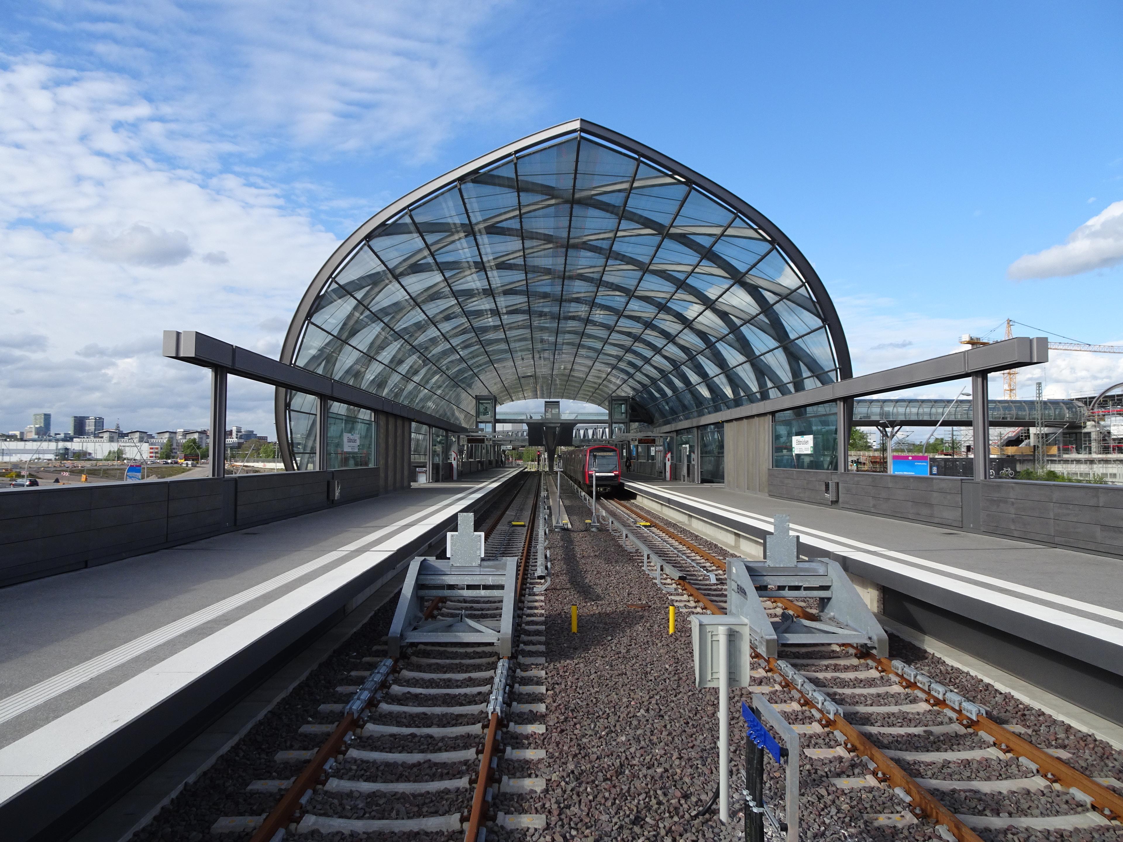 Elbbrücken station in 2019. Photo by Gerd Fahrenhorst1/3
 HafenCity Universität station in 2012. Photo Flor!an2/3
- Überseequartier station in 2012. Photo NordNordWest3/3
- Elbbrücken station in 2019. Photo by Gerd Fahrenhorst1/3
Trains
The network has used many different trains throughout its life. All trains have been powered by a third rail.
The first on the network were Type T/TU, these were used until 1970. Type DT1 were used from 1958 to 1991. Type DT2 were used from 1962 to 2004. Type DT3 were introduced in 1968 and were phased out in 2017.
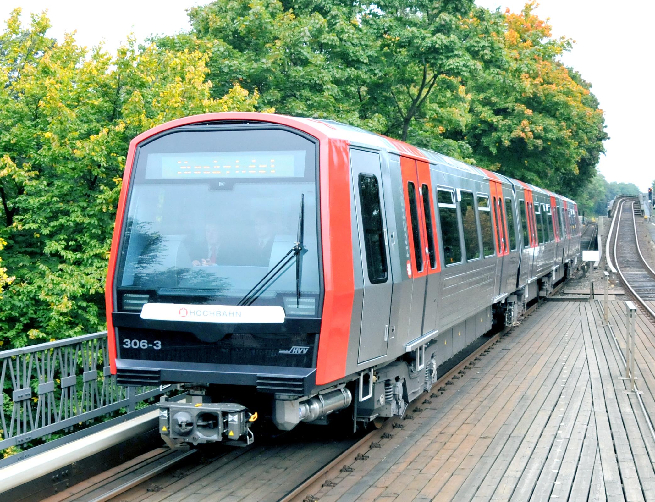
The current network has Type DT4 and Type DT5 trains. Type DT4 came into service in 1988. Since 2011 they have been refurbished to give them a longer lifespan. Type DT5 trains were introduced in 2012 and it is planned they will replace all current Type DT4 trains once all trains have been delivered. Type DT5 trains feature open gangways between cars and air conditioning.
Gallery
 Type DT5 train in 2012. Photo by Jan Oosterhuis7/7
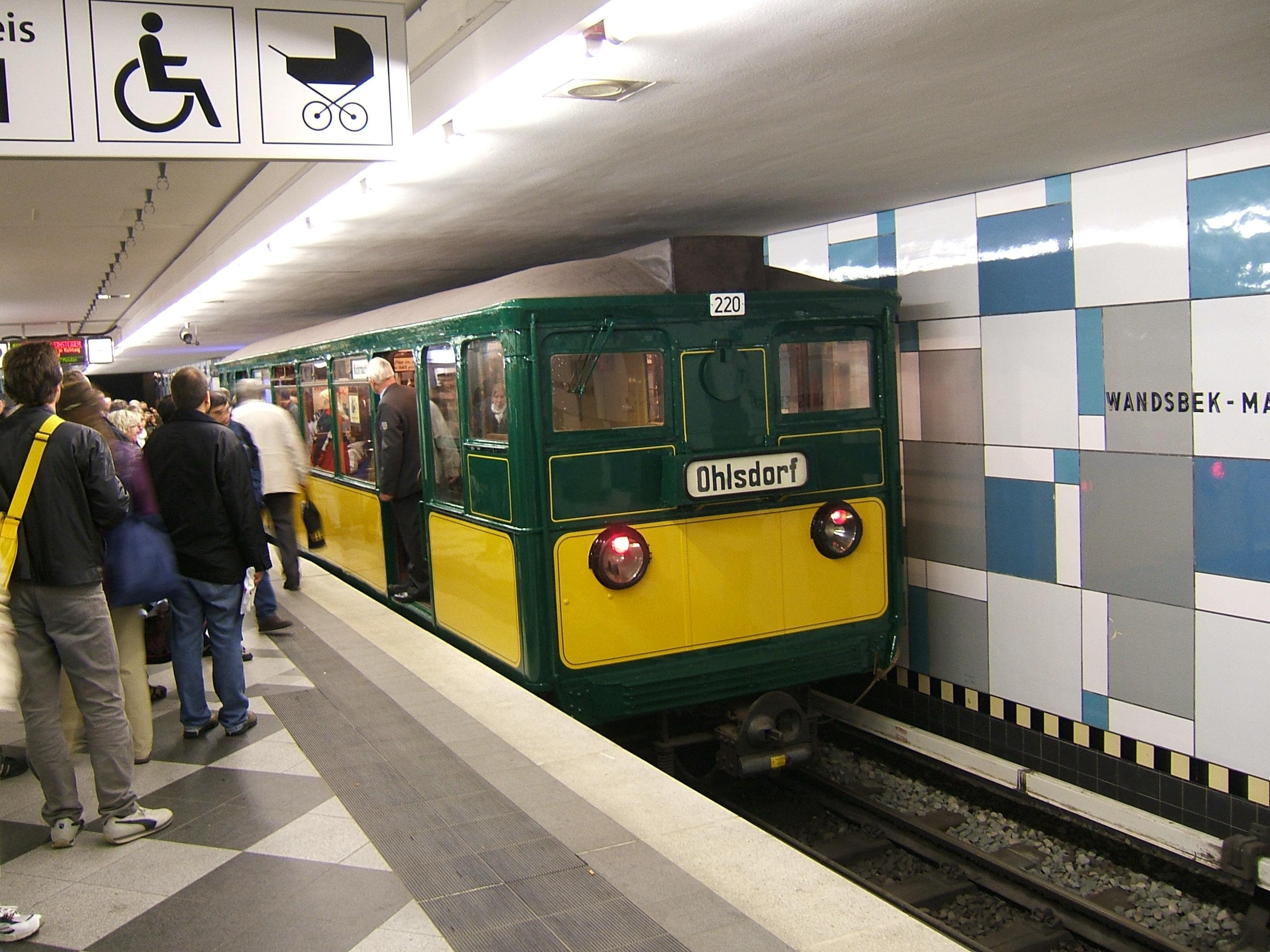 Type T train at Wandsbek Markt station in 2006. Photo by Christoph Gebhardt1/7
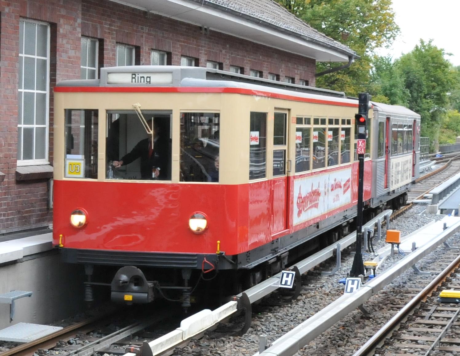 Type TU1 train in 2012. Photo by Jan Oosterhuis2/7
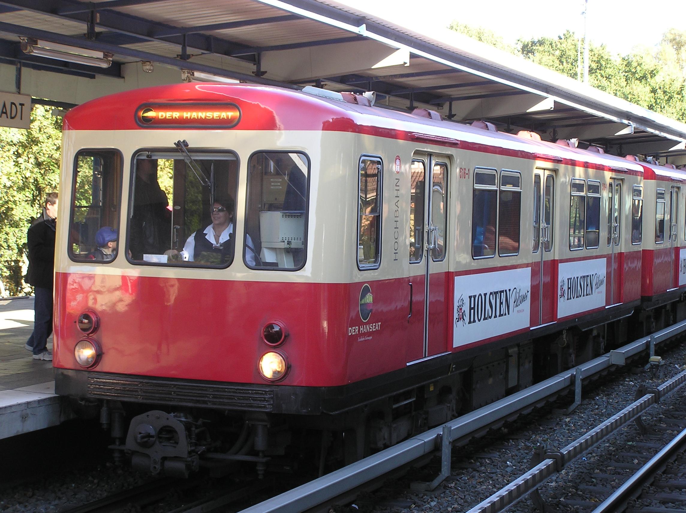 Type DT1 train in 2007. Photo by Joachim Müllerchen3/7
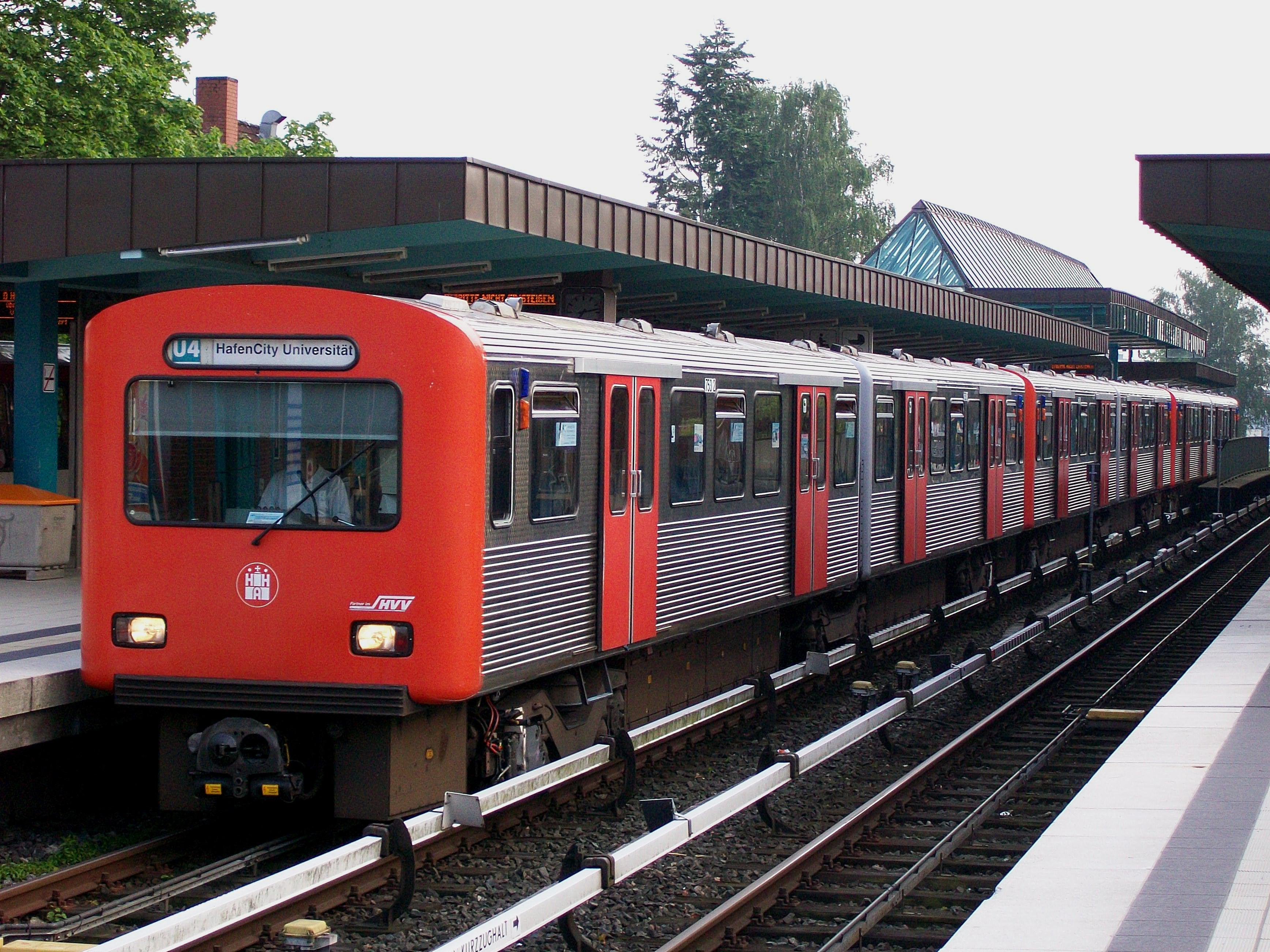 Type DT2E train in 2010. Photo by DH94hamburg4/7
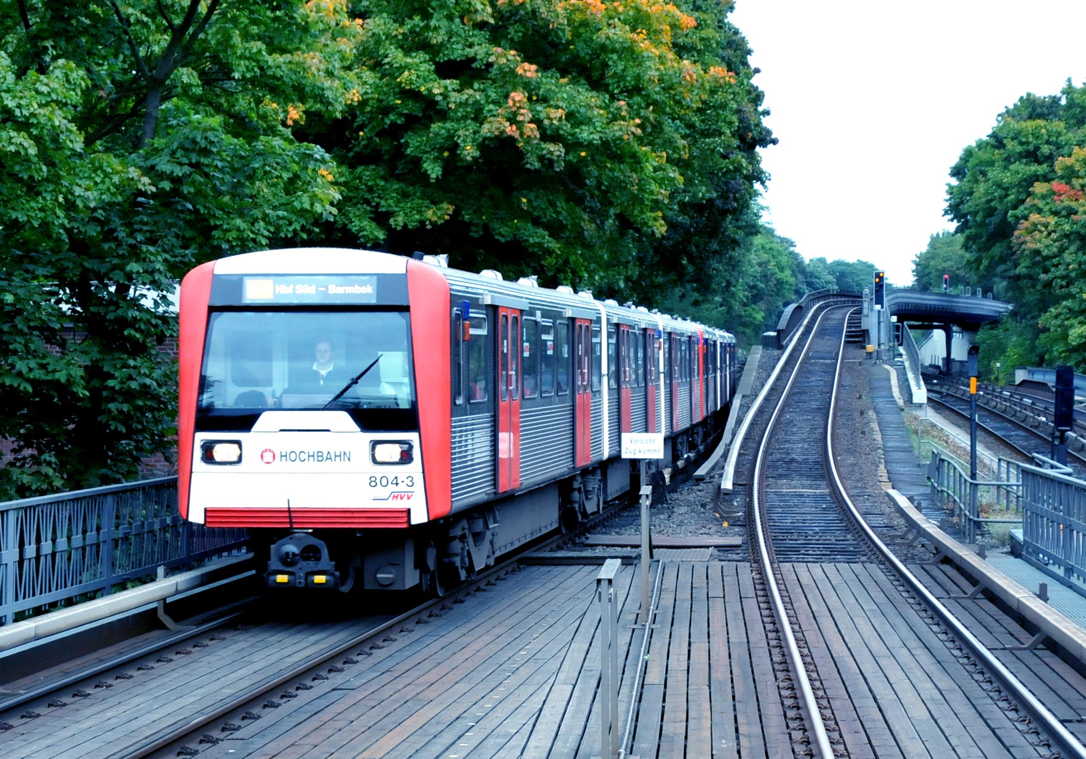 Type DT3E train in 2012. Photo by Jan Oosterhuis5/7
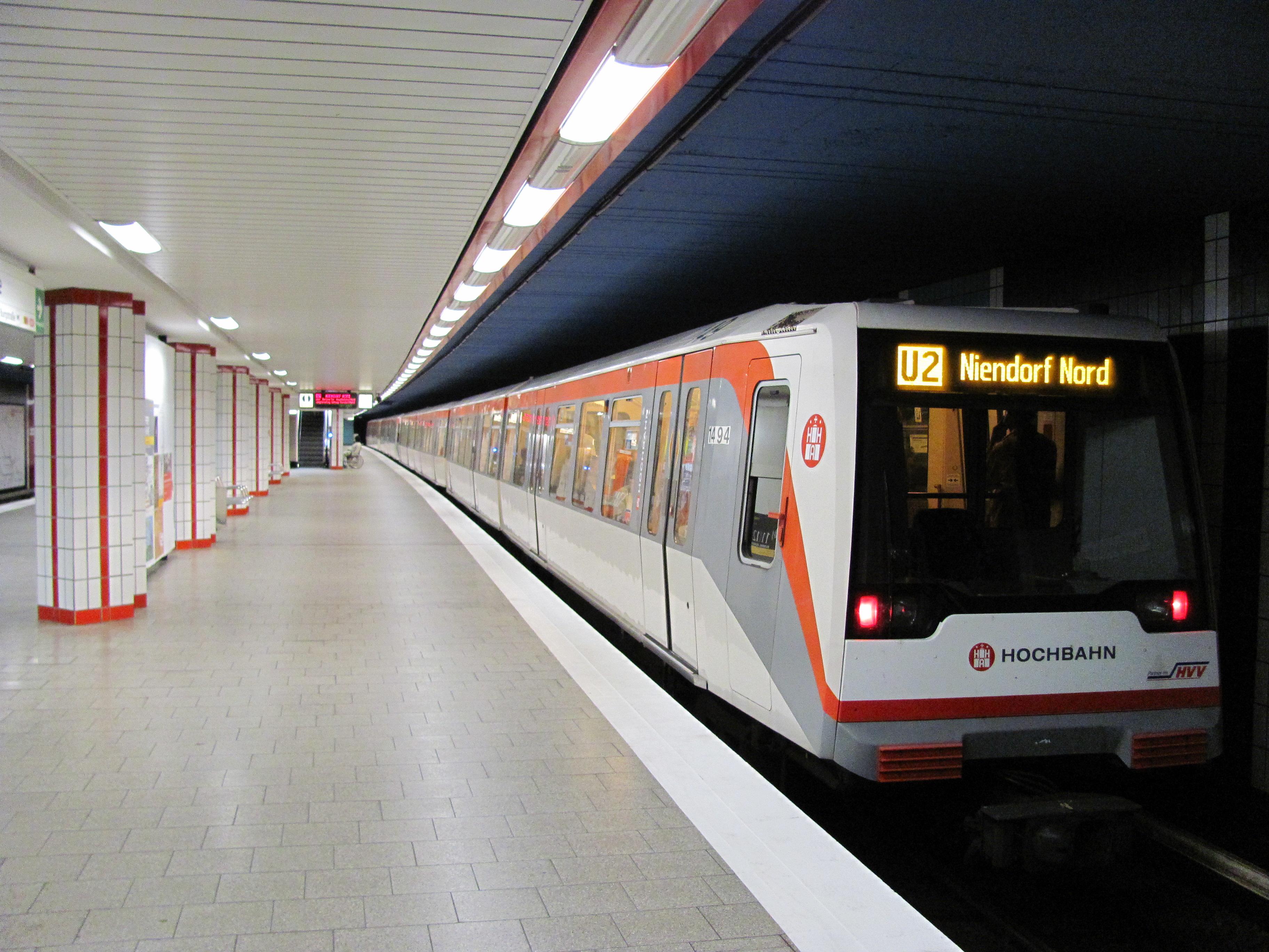 Type DT4 train at Burgstraße station in 2011. Photo by NordNordWest6/7
- Type DT5 train in 2012. Photo by Jan Oosterhuis7/7
- Type T train at Wandsbek Markt station in 2006. Photo by Christoph Gebhardt1/7
Future
Work has started building a new line, U5, which will run east west across the city. The first part being constructed is in the east of the city and is likely to open by 2028. A completion date for the whole line has not been specified.
Enjoyed this content? Share it with your friends!
More maps to discover

Driverless metro in Copenhagen, Denmark

4 line metro in south-east France
The oldest underground railway in the world


Disclaimer
Please note the map is for display purposes only. This should only be used as a guide on how the network has changed over time and not as a travel tool. Please see each networks's official website for an up-to-date map for travelling around that city.
Map design is loosely based on the original concept by Harry Beck for London Underground.
Some things to note about maps:
- Only shows passenger lines.
- Does not show different services on lines.
- Shows the companies who ran services over lines, not who owned them.
- Only shows how lines intersect and in no way represents where stations are in real life, either geographically or by distance.
- Only shows stations as intersections if you can walk between lines without leaving the station(s).
- Only shows changes between years. If a station closed and opened in the same year this will not be shown etc.
- Does not show interchanges between other travel networks.
Images are copyright to their respective owners.
If you spot anything that is wrong, have suggestions or comments or suitable photos for a network, then please get in touch on our contact page.